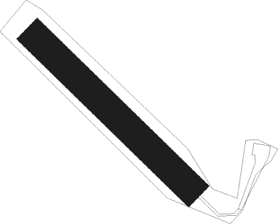
Mende - Puivert
Airport details
| Country | France |
| State | Occitania |
| Region | LF |
| Airspace | Bordeaux Ctr |
| Municipality | Puivert |
| Elevation | 1606ft (490m) |
| Timezone | GMT +1 |
| Coordinates | 42.91028, 2.05472 |
| Magnetic var | |
| Type | land |
| Available since | X-Plane v10.40 |
| ICAO code | LFNW |
| IATA code | n/a |
| FAA code | n/a |
Communication
Nearby Points of Interest:
Abbatiale de la Nativité-de-la-Vierge de Camon
-Hôtel de ville de Limoux
-église de la Miséricorde, ancienne chapelle des Augustins de Limoux
-porte de Papi
-Oratoire de Pieusse
-Palais épiscopal de Mirepoix
-porte d'Avail
-Bassin des Ladres
-castle of Sabarda
-Croix de cimetière de Lavalette
-Le Parc aux Bambous
-Rocher gravé de Fornols
-Monument aux morts de Capoulet-et-Junac
-Canaux de Pamiers
-Croix de Serviès-en-Val
-maison Marty Jacques
-maison Marty Joseph
-maison, Rue Saint-Jean
-maison Berjoan Léon
-maison Py Cécile
-maison Autié
-maison Berjoan
-maison Durand Henriette
-former hospital of Villefranche-de-Conflent
-bâtiment communal
Runway info
| Runway 14 / 32 | ||
| length | 718m (2356ft) | |
| bearing | 130° / 310° | |
| width | 100m (328ft) | |
| surface | grass | |
Nearby beacons
| code | identifier | dist | bearing | frequency |
|---|---|---|---|---|
| CS | CARCASSONNE SALVAZA NDB | 19.9 | 26° | 345 |
| PMR | PAMIERS NDB | 22.9 | 292° | 384 |
| SAL | SAINTE LEOCADIE NDB | 27.9 | 185° | 418 |
| PPG | PERPIGNAN RIVESALTES VOR/DME | 37.1 | 101° | 117.20 |
| TOE | TOULOUSE NDB | 38 | 327° | 415 |
| PL | RIVESALTES (PERPIGNAN) NDB | 40.7 | 105° | 351 |
| TS | TOULOUSE NDB | 43.6 | 316° | 423 |
| CVU | CASTRES-MAZAMET NDB | 43.8 | 12° | 356 |
| MUT | MURET NDB | 51.2 | 303° | 350 |
| TLF | FRANCAZAL NDB | 55.3 | 309° | 332 |
| TOU | TOULOUSE BLAGNAC VOR/DME | 56.5 | 316° | 117.70 |
| GRN | GERONA (GIRONA) NDB | 62.7 | 140° | 412 |
| GIR | GERONA (GIRONA) VOR/DME | 66.8 | 144° | 114.10 |
| G | GIRONA NDB | 67 | 144° | 330 |
Disclaimer
The information on this website is not for real aviation. Use this data with the X-Plane flight simulator only! Data taken with kind consent from X-Plane 12 source code and data files. Content is subject to change without notice.
