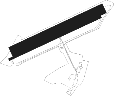
Evreux - Alencon Valframbert
Airport details
| Country | France |
| State | Normandy |
| Region | LF |
| Airspace | Paris Ctr |
| Municipality | Cerisé |
| Elevation | 479ft (146m) |
| Timezone | GMT +1 |
| Coordinates | 48.44667, 0.10833 |
| Magnetic var | |
| Type | land |
| Available since | X-Plane v10.30 |
| ICAO code | LFOF |
| IATA code | n/a |
| FAA code | n/a |
Communication
| Alencon Valframbert ATC Freq | 118.325 |
Nearby Points of Interest:
8-12 rue des Marcheries
-café la Renaissance
-Maison d'Ozé
-pharmacie Pesche
-maison de la Franc-Maçonnerie
-hôpital psychiatrique d'Alençon
-logis Saint-Léonard
-Maison à l'Étal
-Presbytère Saint-Pierre de Montsort
-Scierie Prout
-Maison 110-112 av. du Général Leclerc à Alençon
-Château de Courtilloles
-markers in Écouves Forest
-manoir de Ravigny
-Prieuré Saint-Martin de Sougé-le-Ganelon
-Halle aux grains de Sées
-chapelle canoniale de Sées
-Logis capitulaire de Sées
-Église Saint-Latuin de Cléray
-Halles de René
-Commanderie du Gué-Lian
-Le vieux château, Juillé
-moulin de Buré
-Prieuré de Vivoin
-Ancienne école de filles de Vivoin
Nearby beacons
| code | identifier | dist | bearing | frequency |
|---|---|---|---|---|
| LGL | L'AIGLE VOR/DME | 26.5 | 51° | 112.70 |
| LM | LE MANS NDB | 33.3 | 173° | 326 |
| CHW | CHARTRES VOR/DME | 35 | 88° | 115.20 |
| LA | LAVAL NDB | 42.3 | 239° | 401 |
| CNE | CAEN NDB | 43.6 | 327° | 404 |
| CAN | CAEN CARPIQUET VOR/DME | 48.9 | 322° | 114.45 |
| DVL | DEAUVILLE NORMANDIE VOR | 52.5 | 13° | 110.20 |
| AS | ANGERS NDB | 53.2 | 197° | 392 |
| TUR | TOURS VAL DE LOIRE NDB | 59.4 | 143° | 331 |
| ANG | ANGERS VOR | 66.8 | 227° | 113 |
Disclaimer
The information on this website is not for real aviation. Use this data with the X-Plane flight simulator only! Data taken with kind consent from X-Plane 12 source code and data files. Content is subject to change without notice.

