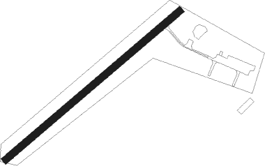
Evreux - Flers Saint Paul
Airport details
| Country | France |
| State | Normandy |
| Region | LF |
| Airspace | Brest Ctr |
| Municipality | La Lande-Patry |
| Elevation | 663ft (202m) |
| Timezone | GMT +1 |
| Coordinates | 48.74972, -0.59472 |
| Magnetic var | |
| Type | land |
| Available since | X-Plane v10.40 |
| ICAO code | LFOG |
| IATA code | n/a |
| FAA code | n/a |
Communication
| Flers Saint Paul FLERS INFO | 123.500 |
| Flers Saint Paul RENNES INFO | 126.950 |
Nearby Points of Interest:
Pierre de la croix carrée
-Filature de Tinchebray
-Croix de l'ancien cimetière
-Vieux Manoir
-Affiloir de Gargantua
-Enceinte de Domfront
-Andaine Forest
-Manoir de Loraille
-Pierre à la Demoiselle
-Mégalithe du Pré-du-Vivret
-Croix de l'ancien cimetière de Beaulandais
-Priory of Plessis-Grimoult
-Hôtel-Dieu de Vire
-Chapelle Notre-Dame-de-Montéglise
-statue de Castel
-portail du cimetière de Vire
-prieuré Saint Ortaire
-manoir de la Servière
-manoir de la Guérinière
-château de la Motte
-camp du Bas de la Courbe
-Manoir de la Queurie
-forge du Champ-de-la-Pierre
-Hôtel-Dieu de Falaise
-marché couvert de Falaise
Nearby beacons
| code | identifier | dist | bearing | frequency |
|---|---|---|---|---|
| CNE | CAEN NDB | 24.4 | 37° | 404 |
| CAN | CAEN CARPIQUET VOR/DME | 26 | 18° | 114.45 |
| LGL | L'AIGLE VOR/DME | 44.5 | 88° | 112.70 |
| LA | LAVAL NDB | 46.5 | 186° | 401 |
| DVL | DEAUVILLE NORMANDIE VOR | 49.1 | 58° | 110.20 |
| LHO | LE HAVRE NDB | 59.3 | 42° | 346 |
| LM | LE MANS NDB | 59.8 | 138° | 326 |
| MP | CHERBOURG NDB | 61.4 | 319° | 373 |
| CHW | CHARTRES VOR/DME | 64.8 | 100° | 115.20 |
| EVX | EVREUX FAUVILLE VORTAC | 73.6 | 81° | 112.40 |
Disclaimer
The information on this website is not for real aviation. Use this data with the X-Plane flight simulator only! Data taken with kind consent from X-Plane 12 source code and data files. Content is subject to change without notice.
