Abbeville
Airport details
| Country | France |
| State | Hauts-de-France |
| Region | LF |
| Airspace | Paris Ctr |
| Municipality | Buigny-Saint-Maclou |
| Elevation | 220ft (67m) |
| Timezone | GMT +1 |
| Coordinates | 50.14222, 1.83111 |
| Magnetic var | |
| Type | land |
| Available since | X-Plane v10.30 |
| ICAO code | LFOI |
| IATA code | n/a |
| FAA code | n/a |
Communication
| Abbeville CTAF | 123.500 |
| Abbeville ATC Dep | 123.500 |
Nearby Points of Interest:
manufacture des Rames
-Chapelle Saint-Pierre Saint-Paul d'Abbeville
-Bains-douches d'Abbeville
-église Saint-Martin de Millencourt-en-Ponthieu
-Belfry of Saint-Riquier
-Saint-Riquier
-grenier à sel de Saint-Valery-sur-Somme
-Gate of Nevers
-Abbey of Saint Valery
-Porte Guillaume
-Baie de Somme
-Château de Regnière-Écluse
-Moulin de Saint-Maxent
-église de Regnière-Écluse
-moulin à vent de Frucourt
-Belfry of Rue
-Château de la Tour
-Château de Dompierre-sur-Authie
-Abbaye de Dommartin
-Moulin de Visse
-Jardins de Maizicourt
-Abbaye de Moreaucourt
-Cayeux-sur-Mer lighthouse
-Église Saint-Pierre de Cayeux-sur-Mer
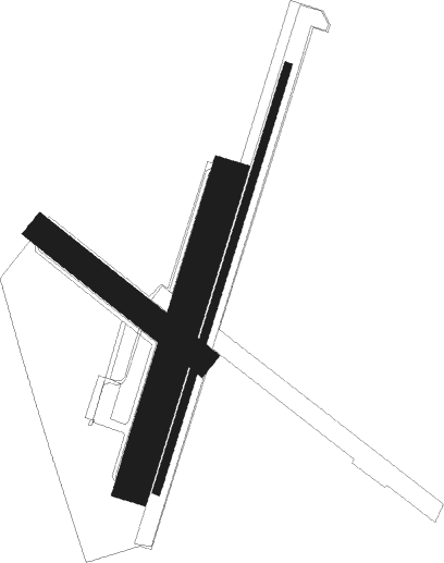
Runway info
Runway 02 / 20  | ||
| length | 1251m (4104ft) | |
| bearing | 32° / 212° | |
| width | 23m (75ft) | |
| surface | asphalt | |
| Runway 02L / 20R | ||
| length | 901m (2956ft) | |
| bearing | 32° / 212° | |
| width | 100m (328ft) | |
| surface | grass | |
| Runway 13 / 31 | ||
| length | 570m (1870ft) | |
| bearing | 121° / 301° | |
| width | 80m (262ft) | |
| surface | grass | |
| displ threshold | 30m (98ft) / 0m (0ft) | |
Nearby beacons
| code | identifier | dist | bearing | frequency |
|---|---|---|---|---|
| ABB | ABBEVILLE VOR/DME | 1 | 107° | 108.45 |
| DPE | DIEPPE VOR | 28.6 | 252° | 115.80 |
| BNE | BOULOGNE SUR MER VOR | 29.1 | 9° | 113.80 |
| GI | AMIENS NDB | 30.9 | 115° | 339 |
| DSA | DIEPPE NDB | 32.8 | 251° | 351 |
| MVC | MERVILLE NDB | 38.7 | 60° | 327 |
| ABY | ALBERT BRAY NDB | 39 | 100° | 321 |
| BV | BEAUVAIS NDB | 39.8 | 163° | 391 |
| MTD | MONTDIDIER VOR | 43.6 | 132° | 113.65 |
| BOV | BEAUVAIS TILLE VOR/DME | 44.1 | 155° | 109.65 |
| ING | SAINT INGLEVERT NDB | 44.6 | 353° | 387 |
| ROU | ROUEN VALLEE DE SEINE VOR | 45.8 | 219° | 116.80 |
| MRV | MERVILLE NDB | 46.1 | 59° | 404 |
| MK | CALAIS-DUNKERQUE NDB | 51.9 | 15° | 418 |
| LZD | LYDD NDB | 59.6 | 312° | 397 |
| LYD | LYDD VOR/DME | 63 | 312° | 114.05 |
| KOK | KOKSY VORTAC | 65.1 | 41° | 114.50 |
Disclaimer
The information on this website is not for real aviation. Use this data with the X-Plane flight simulator only! Data taken with kind consent from X-Plane 12 source code and data files. Content is subject to change without notice.