Saint-sulpice-sur-risle - L'aigle Saint Michel
Airport details
| Country | France |
| State | Normandy |
| Region | LF |
| Airspace | Paris Ctr |
| Municipality | Saint-Sulpice-sur-Risle |
| Elevation | 787ft (240m) |
| Timezone | GMT +1 |
| Coordinates | 48.75889, 0.65778 |
| Magnetic var | |
| Type | land |
| Available since | X-Plane v10.40 |
| ICAO code | LFOL |
| IATA code | n/a |
| FAA code | n/a |
Communication
Nearby Points of Interest:
hôtel Colombel de la Rousselière
-Petit hôtel Colombel
-Manufacture Bohin
-château de Tubœuf
-château du Fontenil
-forge d'Aube
-Manoir de Bellegarde
-Maison à tourelle, 620 rue de la Madeleine, Verneuil-sur-Avre
-château de Verneuil sur Avre
-Motte et tour dîmière du Plessis-Poix
-Chartreuse Notre-Dame du Val-Dieu
-Collégiale de Toussaint
-manoir de Saint-Germain-d'Aunay
-Longueil mansion
-Manoir de Pommereuil
-Hippodrome de Mortagne-au-Perche
-Château de Tillières-sur-Avre
-Maison romane de Loisail
-Abbaye Saint-Pierre-et-Saint-Paul de Châtillon-lès-Conches
-Manoir du Pontgirard
-Prieuré de Saint-Cyr
-manoir des Rosiers
-moulin de Buré
-Manoir de la Vove
-Hospice d'Orbec
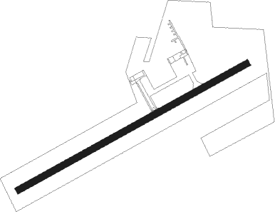
Runway info
| Runway 07 / 25 | ||
| length | 764m (2507ft) | |
| bearing | 73° / 253° | |
| width | 20m (66ft) | |
| surface | asphalt | |
| displ threshold | 67m (220ft) / 125m (410ft) | |
Nearby beacons
| code | identifier | dist | bearing | frequency |
|---|---|---|---|---|
| LGL | L'AIGLE VOR/DME | 5.3 | 284° | 112.70 |
| CHW | CHARTRES VOR/DME | 21.2 | 130° | 115.20 |
| EVX | EVREUX FAUVILLE VORTAC | 27.6 | 64° | 112.40 |
| DVL | DEAUVILLE NORMANDIE VOR | 35.8 | 328° | 110.20 |
| EPR | EPERNON VOR/DME | 40.3 | 98° | 115.65 |
| CNE | CAEN NDB | 44.1 | 290° | 404 |
| ROU | ROUEN VALLEE DE SEINE VOR | 49 | 41° | 116.80 |
| CAN | CAEN CARPIQUET VOR/DME | 50.4 | 290° | 114.45 |
| CHN | CHATEAUDUN TACAN | 51 | 134° | 110.20 |
| CAD | CHATEAUDUN VOR/DME | 51.1 | 134° | 115.95 |
| LHO | LE HAVRE NDB | 53.7 | 330° | 346 |
| LM | LE MANS NDB | 55.4 | 209° | 326 |
| LA | LAVAL NDB | 71.1 | 240° | 401 |
Disclaimer
The information on this website is not for real aviation. Use this data with the X-Plane flight simulator only! Data taken with kind consent from X-Plane 12 source code and data files. Content is subject to change without notice.