Laval/entrammes - Laval Entrammes
Airport details
| Country | France |
| State | Pays de la Loire |
| Region | LF |
| Airspace | Brest Ctr |
| Municipality | Laval |
| Elevation | 330ft (101m) |
| Timezone | GMT +1 |
| Coordinates | 48.03225, -0.74278 |
| Magnetic var | |
| Type | land |
| Available since | X-Plane v10.40 |
| ICAO code | LFOV |
| IATA code | LVA |
| FAA code | n/a |
Communication
| Laval Entrammes LAVAL AFIS | 120.800 |
| Laval Entrammes LAVAL Dep | 128.800 |
Nearby Points of Interest:
logis des Éperons
-hôtel de Montfrand
-maison, 23 rue des Serruriers
-Maison de Clermont
-Immeuble dit de Maistre Julien Briand
-Hôtel d'Argentré
-Institution de l'Immaculée Conception
-Pont de Pritz (Laval)
-église du Sacré-Cœur de Louverné
-Église de Saint-Ouën-des-Vallons
-Manoir d'Aubigné
-Presbytère de Montourtier
-église Saint-Martin de Deux-Évailles
-Maison forte de l'Épronnière
-Grande Forge
-Grange seigneuriale de Chéripeau
-Moulin de Thévalles
-Manoir de la Chesnelière
-Halles de Craon
-Abbaye de Fontaine-Daniel
-chapelle Saint-Crépin (Évron)
-Église Saint-Front de Mézangers
-Camp de Beugy
-Remparts de Sainte-Suzanne
-chapelle Saint-Pierre d'Argentré-du-Plessis
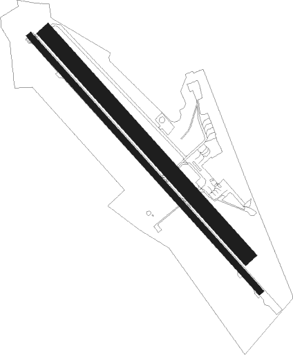
Runway info
Runway 14 / 32  | ||
| length | 1664m (5459ft) | |
| bearing | 131° / 311° | |
| width | 30m (98ft) | |
| surface | asphalt | |
| displ threshold | 21m (69ft) / 66m (217ft) | |
| blast zone | 0m (0ft) / 140m (459ft) | |
| Runway 14L / 32R | ||
| length | 1441m (4728ft) | |
| bearing | 131° / 311° | |
| width | 75m (246ft) | |
| surface | grass | |
Nearby beacons
| code | identifier | dist | bearing | frequency |
|---|---|---|---|---|
| LA | LAVAL NDB | 4.2 | 131° | 401 |
| ANG | ANGERS VOR | 30 | 192° | 113 |
| AS | ANGERS NDB | 36.2 | 128° | 392 |
| LM | LE MANS NDB | 37.6 | 99° | 326 |
| REN | RENNES SAINT JACQUES VOR/DME | 40.1 | 272° | 109.25 |
| LP | CHOLET NDB | 54 | 186° | 357 |
| NTS | NANTES ATLANTIQUE VOR/DME | 63 | 225° | 115.50 |
| TUR | TOURS VAL DE LOIRE NDB | 67.6 | 107° | 331 |
| LGL | L'AIGLE VOR/DME | 68.1 | 59° | 112.70 |
| TUR | TOURS VAL DE LOIRE TACAN | 69.9 | 112° | 113.80 |
| GL | NANTES NDB | 70.1 | 224° | 369 |
| CHW | CHARTRES VOR/DME | 74.2 | 75° | 115.20 |
Instrument approach procedures
| runway | airway (heading) | route (dist, bearing) |
|---|---|---|
| RW14 | LADAV (149°) | LADAV 3500ft OV706 (5mi, 223°) 3200ft |
| RW14 | LALKU (116°) | LALKU 3500ft OV706 (5mi, 78°) 3200ft |
| RW14 | LANOM (131°) | LANOM 3500ft OV706 (5mi, 131°) 3200ft |
| RNAV | OV706 3200ft OV708 (5mi, 131°) 3200ft LFOV (9mi, 131°) 374ft OV722 (4mi, 132°) LADAV (20mi, 326°) 3500ft | |
| RW32 | ARNEV (288°) | ARNEV 2100ft OV404 (5mi, 243°) 2000ft |
| RW32 | BIRSO (311°) | BIRSO 2100ft OV404 (5mi, 311°) 2000ft |
| RW32 | OTLOV (344°) | OTLOV 2100ft OV404 (5mi, 63°) 2000ft |
| RNAV | OV404 2000ft OV402 (5mi, 311°) 2000ft LFOV (5mi, 311°) 370ft OV401 (4mi, 310°) ARNEV (15mi, 113°) 2100ft |
Disclaimer
The information on this website is not for real aviation. Use this data with the X-Plane flight simulator only! Data taken with kind consent from X-Plane 12 source code and data files. Content is subject to change without notice.