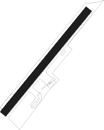
Roclincourt - Arras - Roclincourt
Airport details
| Country | France |
| State | Hauts-de-France |
| Region | LF |
| Airspace | Paris Ctr |
| Municipality | Roclincourt |
| Elevation | 335ft (102m) |
| Timezone | GMT +1 |
| Coordinates | 50.32389, 2.80278 |
| Magnetic var | |
| Type | land |
| Available since | X-Plane v10.32 |
| ICAO code | LFQD |
| IATA code | n/a |
| FAA code | n/a |
Communication
| Arras - Roclincourt ARRAS MULT | 123.500 |
Nearby Points of Interest:
Town hall of Arras
-Abbey of St. Vaast
-Prefecture hotel of Pas-de-Calais
-Hospice Sainte-Agnès d'Arras
-Abbaye d'Henin-Liétard
-City walls of Arras
-Fosse n° 1 - 1 bis - 1 ter des mines de Liévin
-Fosse n° 3 - 3 bis des mines de Lens
-Fosse n° 11 - 19 des mines de Lens
-Cromlech des Bonnettes
-Église Saint-Louis de Grenay
-Château Mercier
-Fosse n° 13 bis des mines de Lens
-Table des Fées
-Église Saint-Stanislas de Dourges
-Fosse n° 1 - 1 bis des mines de Nœux
-Château de Berles-Monchel
-Château de Varlemont
-Fosse n° 8 - 8 bis des mines de Dourges
-Place du Marché-au-Poisson de Douai
-convent of Chartreuse, Douai
-Palais de justice de Douai
-Fosse n° 7 - 7 bis des mines de Nœux
-Fosse n° 4 des mines de Carvin
-Hôpital-Général de Douai
Nearby beacons
| code | identifier | dist | bearing | frequency |
|---|---|---|---|---|
| CMB | CAMBRAI EPINOY VOR/DME | 14.5 | 105° | 112.60 |
| MVC | MERVILLE NDB | 17 | 319° | 327 |
| LEQ | LILLE LESQUIN VOR/DME | 18 | 50° | 109 |
| ABY | ALBERT BRAY NDB | 20.8 | 179° | 321 |
| MRV | MERVILLE NDB | 21.1 | 344° | 404 |
| VS | VALENCIENNES NDB | 21.1 | 87° | 317 |
| LL | LILLE NDB | 22 | 58° | 332 |
| GI | AMIENS NDB | 31.4 | 213° | 339 |
| ABB | ABBEVILLE VOR/DME | 38.1 | 259° | 108.45 |
| BNE | BOULOGNE SUR MER VOR | 38.7 | 289° | 113.80 |
| KOK | KOKSY VORTAC | 46.6 | 349° | 114.50 |
| MAK | MACKEL NDB | 46.6 | 47° | 360 |
| MTD | MONTDIDIER VOR | 47.8 | 202° | 113.65 |
| MK | CALAIS-DUNKERQUE NDB | 49.4 | 312° | 418 |
| DD | OOSTENDE (OOSTENDE-BRUGGE) NDB | 52.2 | 2° | 352 |
| OO | OOSTENDE (OOSTENDE-BRUGGE) NDB | 53 | 7° | 375 |
| ONO | OOSTENDE NDB | 54.4 | 13° | 399 |
| BV | BEAUVAIS NDB | 58.2 | 223° | 391 |
| BOV | BEAUVAIS TILLE VOR/DME | 58.9 | 216° | 109.65 |
Disclaimer
The information on this website is not for real aviation. Use this data with the X-Plane flight simulator only! Data taken with kind consent from X-Plane 12 source code and data files. Content is subject to change without notice.