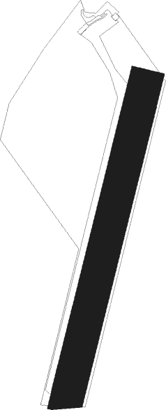
Châtillon-sur-seine - Chatillon Sur Seine
Airport details
| Country | France |
| State | Bourgogne-Franche-Comté |
| Region | LF |
| Airspace | Paris Ctr |
| Municipality | Châtillon-sur-Seine |
| Elevation | 901ft (275m) |
| Timezone | GMT +1 |
| Coordinates | 47.84528, 4.57944 |
| Magnetic var | |
| Type | land |
| Available since | X-Plane v10.40 |
| ICAO code | LFQH |
| IATA code | n/a |
| FAA code | n/a |
Communication
| Chatillon sur Seine A/A | 123.500 |
Nearby Points of Interest:
Maison des Barrodeau
-Maison de l'Arquebuse de Châtillon-sur-Seine
-Maison de la rue des Avocats
-Hôtel de Clermont-Tonnerre de Châtillon-sur-Seine
-Hôtel du Congrès
-Hôtel de Châtillon-sur-Seine
-couvent des Cordeliers de Châtillon-sur-Seine
-Bibliothèque municipale de Châtillon-sur-Seine
-sous-préfecture de Châtillon-sur-Seine
-Bastion du Petit-Haut
-abbaye Notre-Dame de Châtillon
-Vix Grave
-lavoir de Vanvey
-Maison des Templiers de Coulmier-le-Sec
-Commanderie d'Épailly
-Café des chiens blancs
-Molesme Abbey
-ponts de l'Abattoir
-Église Saint-Hilaire de Lucey
-Grange cistercienne d'Esmorots
-Église Saint-Rémy
-Halle de Ricey-Haut
-Pont de Ricey-Haut
-huilerie de Chaume-lès-Baigneux
-Église Saint-Vinard de Menesble
Nearby beacons
| code | identifier | dist | bearing | frequency |
|---|---|---|---|---|
| RLP | ROLAMPONT VOR/DME | 27.2 | 85° | 117.30 |
| TRO | TROYES BARBEREY VOR | 34.7 | 303° | 116 |
| DJL | DIJON LONGVIC VOR/DME | 40.3 | 138° | 111.45 |
| TY | TROYES NDB | 40.5 | 314° | 320 |
| SDI | SAINT DIZIER ROBINSON TACAN | 49.1 | 21° | 114 |
| CVT | CHALONS NDB | 55.8 | 344° | 347 |
| CAV | CHALONS VOR/DME | 58.7 | 335° | 111.65 |
| DO | DOLE NDB | 59.7 | 140° | 309 |
| VAT | CHALONS NDB | 61.4 | 329° | 367 |
Disclaimer
The information on this website is not for real aviation. Use this data with the X-Plane flight simulator only! Data taken with kind consent from X-Plane 12 source code and data files. Content is subject to change without notice.
