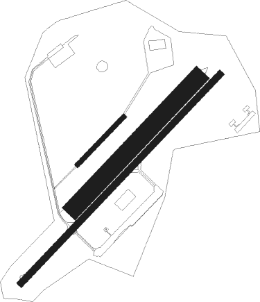
Élesmes - Maubeuge - Élesmes
Airport details
| Country | France |
| State | Hauts-de-France |
| Region | LF |
| Airspace | Paris Ctr |
| Municipality | Élesmes |
| Elevation | 448ft (137m) |
| Timezone | GMT +1 |
| Coordinates | 50.30831, 4.03218 |
| Magnetic var | |
| Type | land |
| Available since | X-Plane v10.40 |
| ICAO code | LFQJ |
| IATA code | XME |
| FAA code | n/a |
Communication
| Maubeuge - Élesmes CTAF | 121.000 |
| Maubeuge - Élesmes Twr | 121.000 |
| Maubeuge - Élesmes Dep | 121.000 |
Nearby Points of Interest:
Christ en croix de Marpent
-Chapître des Chanoinesses de Maubeuge
-Feignies
-Abbaye d'Haumont
-Kanzel
-city walls of Binche
-Fontaine Saint-Éloi
-Underground quarries of the Malogne
-Fosteau Castle
-Château de Dourlers
-Valenciennes Tower
-Bagacum
-église de Saint-Vaast
-Hanging Gardens of Thuin
-Tour Florentine d'Aulnoye-Aymeries
-lifts on the old Canal du Centre
-Major Mining Sites of Wallonia
-tour sarrazine
-Chapelle Sainte-Hiltrude de Liessies
-fortifications d'Avesnes-sur-Helpe
-Mausoleum of the Lords of Boussu
-Hôtel de ville d'Avesnes-sur-Helpe
-Le Rœulx Castle
-domaine de Mariemont
-Château de la Cour au Bois

Nearby beacons
| code | identifier | dist | bearing | frequency |
|---|---|---|---|---|
| CIV | CHIEVRES VORTAC | 17.6 | 323° | 113.20 |
| GSY | GOSLY (CHARLEROI) VOR/DME | 17.9 | 70° | 115.70 |
| ONC | CHARLEROI NDB | 22.7 | 71° | 323 |
| BFS | FLORENNES TACAN | 24.1 | 96° | 111.50 |
| VS | VALENCIENNES NDB | 26.1 | 274° | 317 |
| CMB | CAMBRAI EPINOY VOR/DME | 34.1 | 265° | 112.60 |
| HUL | HULDENBERG VOR/DME | 35.2 | 54° | 117.55 |
| OZ | BRUSSELS NATIONAL NDB | 35.2 | 40° | 314 |
| LL | LILLE NDB | 35.3 | 288° | 332 |
| AFI | AFFLIGEM VOR/DME | 36.2 | 10° | 114.90 |
| HTB | BEAUVECHAIN NDB | 38.8 | 59° | 381 |
| BBE | BEAUVECHAIN TACAN | 38.9 | 59° | 116 |
| LEQ | LILLE LESQUIN VOR/DME | 39.1 | 285° | 109 |
| BUB | BRUSSELS VOR/DME | 40.5 | 40° | 114.60 |
| OB | BRUSSELS NDB | 42.9 | 44° | 293 |
| OP | BRUSSELS NATIONAL NDB | 43.4 | 42° | 402 |
| MAK | MACKEL NDB | 44.3 | 321° | 360 |
| NIK | NICKY VOR/DME | 51.7 | 10° | 117.40 |
| ONW | ANTWERP NDB | 55.4 | 32° | 355 |
| ANT | ANTWERP (DEURNE) VOR/DME | 55.5 | 27° | 113.50 |
| BUN | BRUNO VOR/DME | 57.5 | 45° | 110.60 |
| REM | REIMS VOR | 59.8 | 179° | 112.30 |
Disclaimer
The information on this website is not for real aviation. Use this data with the X-Plane flight simulator only! Data taken with kind consent from X-Plane 12 source code and data files. Content is subject to change without notice.