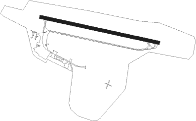
La Baule-escoublac - La Baule Escoublac
Airport details
| Country | France |
| State | Pays de la Loire |
| Region | LF |
| Airspace | Brest Ctr |
| Municipality | La Baule-Escoublac |
| Elevation | 104ft (32m) |
| Timezone | GMT +1 |
| Coordinates | 47.28833, -2.34694 |
| Magnetic var | |
| Type | land |
| Available since | X-Plane v10.40 |
| ICAO code | LFRE |
| IATA code | LBY |
| FAA code | n/a |
Communication
| La Baule Escoublac LA BAULE INFO | 121.400 |
| La Baule Escoublac Dep | 121.400 |
Nearby Points of Interest:
Kerbourg dolmens
-ancient cisterns of Trémonday
-Usine élévatoire de Saint-Nazaire
-35 rue Saint-Christophe, Le Croisic
-5 quai de la Petite-Chambre, Le Croisic
-butte aux Gorzeaux
-St Goustan's Chapel
-Pottery kilns in Landieul
-pierres du Meniscoul
-Vilaine estuary
-Maison du Canon
-Moulin de la Ramée
-Villa du Plessis-Grimaud
-Château du Plessis-Mareil
-dolmen de la pointe de l'Herbaudière
-Doyenné de Péaule
-Hôtel Jacobsen
-Croix de cimetière du Guerno
-Commanderie de Limerzel
-Puits du presbytère de Questembert
-villa Coëtihuel
-Abbaye Saint-Gildas Saint-Gildas-de-Rhuys
-Manoir du Mail
-Hôtel de Richelieu
-Hôtel de Carmoy
Nearby beacons
| code | identifier | dist | bearing | frequency |
|---|---|---|---|---|
| MT | SAINT NAZAIRE NDB | 12.6 | 81° | 398 |
| GL | NANTES NDB | 30.4 | 110° | 369 |
| NTS | NANTES ATLANTIQUE VOR/DME | 30.8 | 100° | 115.50 |
| VA | VANNES NDB | 31.5 | 327° | 342 |
| PNT | PONTIVY NDB | 49.2 | 330° | 377 |
| REN | RENNES SAINT JACQUES VOR/DME | 52.9 | 38° | 109.25 |
Disclaimer
The information on this website is not for real aviation. Use this data with the X-Plane flight simulator only! Data taken with kind consent from X-Plane 12 source code and data files. Content is subject to change without notice.