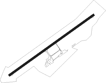
Saint-brieuc - Saint Brieuc Armor
Airport details
| Country | France |
| State | Brittany |
| Region | LF |
| Airspace | Brest Ctr |
| Municipality | Pordic |
| Elevation | 452ft (138m) |
| Timezone | GMT +1 |
| Coordinates | 48.53749, -2.85654 |
| Magnetic var | |
| Type | land |
| Available since | X-Plane v10.40 |
| ICAO code | LFRT |
| IATA code | SBK |
| FAA code | n/a |
Communication
| Saint Brieuc Armor SAINT BRIEUC INFO | 118.450 |
| Saint Brieuc Armor RENNES Approach | 126.950 |
Nearby Points of Interest:
Viaduc de Souzain
-Menhir de la Roche-Longue à Saint-Julien
-Fuseau de Margot à Plédran
-Colombier du château de la Houssaye de Quessoy
-Site mégalithique de la Lande du Gras
-Pléneuf-Val-André
-fonts baptismaux à Moncontour
-Town hall of Kerjégu
-Hôtel Veillet-Dufrêche
-Îlot Saint-Michel
-Abbaye de Boquen (Plénée-Jugon, France)
-Château de La Roche-Guéhennec
-St-Pierre (Plénée-Jugon)
-Aqueduc du Guindy
-allée couverte de La Roche aux Fées de la Brousse
-Abbaye Notre-Dame de Bon-Repos
-Ferme du Corboulo
-Les Jumeaux
-Église Saint-Gérand de Saint-Gérand
-château de Coatilliau
Nearby beacons
| code | identifier | dist | bearing | frequency |
|---|---|---|---|---|
| SB | SAINT BRIEUC NDB | 3.4 | 68° | 353 |
| LN | LANNION NDB | 20.9 | 292° | 345 |
| PNT | PONTIVY NDB | 29.3 | 173° | 377 |
| DIN | DINARD PLEURTUIT SAINT MA VOR/DME | 30.9 | 86° | 114.30 |
| ARE | MONTS D'ARREE VOR | 32.1 | 255° | 112.50 |
| VA | VANNES NDB | 46.7 | 166° | 342 |
| JW | JERSEY NDB | 47.3 | 44° | 329 |
| JSY | JERSEY VOR/DME | 52 | 50° | 112.20 |
| LOR | LORIENT LANN BIHOUE NDB | 52 | 217° | 359 |
| LOR | LORIENT LANN BIHOUE TACAN | 52.1 | 217° | 115.80 |
| GUR | GUERNSEY VOR/DME | 54.9 | 16° | 109.40 |
Instrument approach procedures
| runway | airway (heading) | route (dist, bearing) |
|---|---|---|
| RW24 | EKPAT (266°) | EKPAT ARLOR (5mi, 318°) 2000ft |
| RW24 | ODIMI (225°) | ODIMI ARLOR (5mi, 138°) 2000ft |
| RNAV | ARLOR 2000ft FRT24 (5mi, 248°) 2000ft LFRT (5mi, 248°) 480ft RT410 (2mi, 248°) 2000ft ODIMI (13mi, 49°) ODIMI (turn) 2000ft |
Disclaimer
The information on this website is not for real aviation. Use this data with the X-Plane flight simulator only! Data taken with kind consent from X-Plane 12 source code and data files. Content is subject to change without notice.
