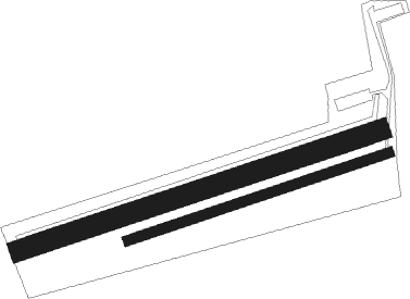
St Dizier - Sedan Douzy
Airport details
| Country | France |
| State | Grand Est |
| Region | LF |
| Airspace | Paris Ctr |
| Municipality | Douzy |
| Elevation | 512ft (156m) |
| Timezone | GMT +1 |
| Coordinates | 49.65889, 5.03667 |
| Magnetic var | |
| Type | land |
| Available since | X-Plane v10.40 |
| ICAO code | LFSJ |
| IATA code | n/a |
| FAA code | n/a |
Communication
Nearby Points of Interest:
Château de Montvillers
-Maisons espagnoles de Mouzon
-Manufacture de draps Cunin-Gridaine
-Couvent des Capucins irlandais
-Château-Bas de Sedan
-Hôtel de ville de Sedan
-Fortifications de Carignan
-Fanum de Mouzon
-Forge de Vrigne-aux-Bois
-Tombeau du Géant
-Château d'Auflance
-Haut-fourneau de Vendresse
-Château de Lumes
-Château-ferme de Brieulles-sur-Bar
-Enceinte de Mézières
-Town hall (Charleville-Mézières)
-Bains-douches de Charleville-Mézières
-La Macérienne
-Château Marcadet
-Porcheresse Castle
-Cité jardin Faure
-Cité Paris-Campagne
-église Saint-Georges de Fumay
-Bornes de Saint-Rémi
-ermitage de Wachet

Nearby beacons
| code | identifier | dist | bearing | frequency |
|---|---|---|---|---|
| MMD | MONTMEDY VOR | 16.4 | 162° | 109.40 |
| ETN | ETAIN NDB | 35.8 | 124° | 410 |
| BFS | FLORENNES TACAN | 37.9 | 327° | 111.50 |
| REM | REIMS VOR | 43.9 | 251° | 112.30 |
| GSY | GOSLY (CHARLEROI) VOR/DME | 52.9 | 323° | 115.70 |
| ONC | CHARLEROI NDB | 53.2 | 330° | 323 |
| SPI | SPRIMONT VOR/DME | 56.1 | 34° | 113.10 |
| SLV | SPA NDB | 59.6 | 47° | 386 |
| CVT | CHALONS NDB | 60.9 | 219° | 347 |
| LNO | OLNO VOR/DME | 61.4 | 36° | 112.80 |
| LGE | LIEGE VOR/DME | 62 | 24° | 115.45 |
| CAV | CHALONS VOR/DME | 63.2 | 225° | 111.65 |
Disclaimer
The information on this website is not for real aviation. Use this data with the X-Plane flight simulator only! Data taken with kind consent from X-Plane 12 source code and data files. Content is subject to change without notice.