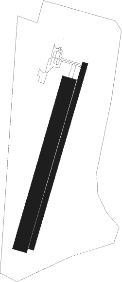
Pontarlier
Airport details
| Country | France |
| State | Bourgogne-Franche-Comté |
| Region | LF |
| Airspace | Reims Ctr |
| Municipality | Pontarlier |
| Elevation | 2683ft (818m) |
| Timezone | GMT +1 |
| Coordinates | 46.90853, 6.32751 |
| Magnetic var | |
| Type | land |
| Available since | X-Plane v10.40 |
| ICAO code | LFSP |
| IATA code | n/a |
| FAA code | n/a |
Communication
| Pontarlier CTAF | 135.700 |
| Pontarlier Dep | 135.700 |
Nearby Points of Interest:
Château de Sandon
-église Saint-Valère de Goux-les-Usiers
-Maison de Monte au Lever
-Abbaye de Montbenoît
-Château d'Aubonne (Doubs)
-Pont sur la Loue de Mouthier-Haute-Pierre
-Prieuré de Mouthier-Haute-Pierre
-École-mairie d'Arc-sous-Cicon
-Presbytère de Remoray-Boujeons
-Monument aux morts
-Pont sur la Loue de Vuillafans
-Abri de la Cure
-Fleurier
-Château de Châteauvieux-les-Fossés
-Beffroi, Baulmes
-Grotte-chapelle de Remonot
-Croix de Lavans-Vuillafans
-Lignerolle
-Ivernois Castle
-Vallorbe
-Saint-Christophe manor
-Château de Valeyres
-Champvent
-Église réformée Saint-Étienne de Montcherand
-Town hall of Mouthe
Nearby beacons
| code | identifier | dist | bearing | frequency |
|---|---|---|---|---|
| LAP | PRAZ DME | 14.3 | 160° | 110.65 |
| LPS | LES EPLATURES NDB | 21.7 | 69° | 403 |
| BSV | BESANCON NDB | 22.1 | 341° | 370 |
| SPR | ST PREX VOR/DME | 26.8 | 165° | 113.90 |
| GLA | GLAND NDB | 30.2 | 189° | 375 |
| FRI | FRIBOURG VOR/DME | 37.6 | 98° | 110.85 |
| GVA | GENEVA VOR/DME | 40.1 | 197° | 115.75 |
| HR | HERICOURT NDB | 42.5 | 32° | 289 |
| MB | MONTBELIARD NDB | 43.2 | 45° | 330 |
| PAS | PASSEIRY VOR/DME | 46.7 | 204° | 116.60 |
| LUL | LUXEUIL VOR | 46.8 | 358° | 117.10 |
| LXI | LUXEUIL SAINT SAUVEUR TACAN | 52.5 | 2° | 108.20 |
| SIO | SION VOR/DME | 57.5 | 126° | 112.15 |
Disclaimer
The information on this website is not for real aviation. Use this data with the X-Plane flight simulator only! Data taken with kind consent from X-Plane 12 source code and data files. Content is subject to change without notice.

