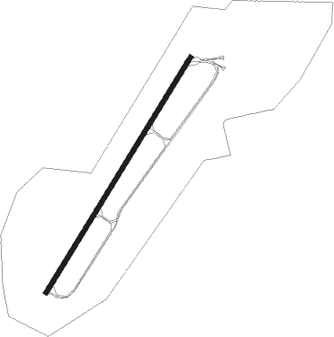
St Pierre I - Lure Malbouhans
Airport details
| Country | France |
| State | Bourgogne-Franche-Comté |
| Region | |
| Airspace | Reims Ctr |
| Municipality | La Neuvelle-lès-Lure |
| Elevation | 1040ft (317m) |
| Timezone | GMT +1 |
| Coordinates | 47.69429, 6.53535 |
| Magnetic var | |
| Type | land |
| Available since | X-Plane v10.40 |
| ICAO code | LFYL |
| IATA code | n/a |
| FAA code | n/a |
Communication
Nearby Points of Interest:
Hospice Marie-Richard
-Abbaye of Lure
-Coal mine Sainte Marie
-Filature de Ronchamp
-Puits communal de Velotte
-Puits communal d'Amblans
-Grande fontaine
-Lavoir Buriot
-Croix de cimetière de Montjustin-et-Velotte
-Hôpital de Grammont
-town hall of Servance-Miellin
-Presbytère de Villersexel
-Luxeuil Abbey
-abbatial palace
-château de Saulx
-Mairie-école-justice de paix de Noroy-le-Bourg
-Château de Fallon
-Grenier chalot de Saint-Bresson
-Fontaine de Sainte-Marie
-Maison (18 rue Metzger, Belfort)
-Wayside crosses in Offemont (1712)
-Établissement rural gallo-romain de Chassey-lès-Montbozon
-Copper mine at Le Thillot
-Habitat fortifié du bois de la Miotte
-Collège universitaire de Montbéliard
Nearby beacons
| code | identifier | dist | bearing | frequency |
|---|---|---|---|---|
| LXI | LUXEUIL SAINT SAUVEUR TACAN | 8.9 | 297° | 108.20 |
| LUL | LUXEUIL VOR | 9.6 | 269° | 117.10 |
| HR | HERICOURT NDB | 11.2 | 124° | 289 |
| MB | MONTBELIARD NDB | 19.4 | 116° | 330 |
| BSV | BESANCON NDB | 29 | 218° | 370 |
| LPS | LES EPLATURES NDB | 38.1 | 157° | 403 |
| BN | BASLE-MULHOUSE NDB | 38.2 | 92° | 353 |
| BLM | BASLE-MULHOUSE VOR/DME | 39.1 | 94° | 117.45 |
| EMT | EPINAL NDB | 40.7 | 332° | 419 |
| EPL | EPINAL MIRECOURT VOR | 42 | 323° | 113 |
| HO | COLMAR-HOUSSEN NDB | 42.6 | 62° | 380 |
| GRE | GRENCHEN VOR/DME | 47.2 | 120° | 115.45 |
| NAY | NANCY OCHEY TACAN | 58.3 | 327° | 116.80 |
| FRI | FRIBOURG VOR/DME | 61.7 | 143° | 110.85 |
Disclaimer
The information on this website is not for real aviation. Use this data with the X-Plane flight simulator only! Data taken with kind consent from X-Plane 12 source code and data files. Content is subject to change without notice.