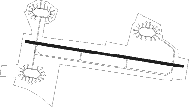
St Pierre I - Marigny Le Grand
Airport details
| Country | France |
| State | Grand Est |
| Region | |
| Airspace | Paris Ctr |
| Municipality | Gaye |
| Elevation | 328ft (100m) |
| Timezone | GMT +1 |
| Coordinates | 48.66425, 3.81640 |
| Magnetic var | |
| Type | land |
| Available since | X-Plane v10.40 |
| ICAO code | LFYM |
| IATA code | n/a |
| FAA code | n/a |
Communication
Nearby Points of Interest:
Dolmen de Nuisy
-Tumulus de Baudement
-Grottes de Villevenard
-Grottes du Razet
-Abbaye d'Andecy
-Château de Montaiguillon
-Pavillon de Henri IV (Nogent-sur-Seine)
-ponts de la route royale Paris-Bâle
-Église Saint-Georges de Trouans
-Croix de cimetière de Trouan-le-Grand
-Ferme de Villefontaine
-Menhir de Saint-Brice
-Commanderie de Saint-Martin-des-Champs
-Grotte de Saran IV
-Demeure des Vieux Bains
-Chapelle comtale de Provins
-Pont-canal de Barberey-Saint-Sulpice
-Palais des comtes de Champagne
-Hôtel des Brébans
-Tribunal ecclésiastique de Provins
-Maison canoniale
-Maison de Saint-Thibault
-Maison Les Aulnois
-Hôtel des Trois-Singes
-Église Saint-Thibault de Provins
Nearby beacons
| code | identifier | dist | bearing | frequency |
|---|---|---|---|---|
| VAT | CHALONS NDB | 11.2 | 56° | 367 |
| CAV | CHALONS VOR/DME | 14.8 | 71° | 111.65 |
| TY | TROYES NDB | 17.5 | 145° | 320 |
| CVT | CHALONS NDB | 20.7 | 79° | 347 |
| TRO | TROYES BARBEREY VOR | 25.4 | 160° | 116 |
| BRY | BRAY SUR SEINE VOR/DME | 25.8 | 244° | 114.10 |
| CTL | CHATILLON SUR MARNE VOR/DME | 29.9 | 333° | 117.60 |
| CLM | COULOMMIERS VOR/DME | 33.5 | 283° | 112.90 |
| MV | MELUN NDB | 33.9 | 263° | 434 |
| REM | REIMS VOR | 39.9 | 19° | 112.30 |
| BSN | DME | 43.4 | 305° | 114.85 |
| AX | AUXERRE NDB | 46.4 | 203° | 417 |
Disclaimer
The information on this website is not for real aviation. Use this data with the X-Plane flight simulator only! Data taken with kind consent from X-Plane 12 source code and data files. Content is subject to change without notice.