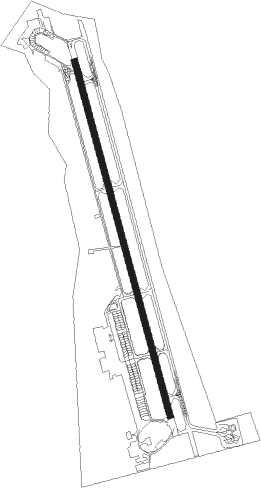
Kalamata
Airport details
| Country | Greece |
| State | Peloponnese, Western Greece and the Ioni |
| Region | LG |
| Airspace | Athens Ctr |
| Municipality | Municipality of Kalamata |
| Elevation | 24ft (7m) |
| Timezone | GMT +2 |
| Coordinates | 37.06171, 22.02377 |
| Magnetic var | |
| Type | land |
| Available since | X-Plane v10.40 |
| ICAO code | LGKL |
| IATA code | KLX |
| FAA code | n/a |
Communication
| Kalamata Tower | 120.750 |
| Kalamata Tower | 122.100 |
| Kalamata Approach | 120.750 |
| Kalamata Approach | 122.100 |
Approach frequencies
| ILS-cat-I | RW35L | 111.3 | 18.00mi |
| 3° GS | RW35L | 111.3 | 18.00mi |
Nearby Points of Interest:
Cathedral of Ypapanti, Kalamata
-Cave of Caiada
-Saint George church (Mystras)
-Mystras castle
-Megalopolis
-Malliaropouleio municipal theater
Nearby beacons
| code | identifier | dist | bearing | frequency |
|---|---|---|---|---|
| KAM | KALAMATA VOR/DME | 0.2 | 2° | 112.60 |
| KLM | KALAMATA TACAN | 0.9 | 351° | 115.20 |
| TRL | TRIPOLIS VOR/DME | 25.5 | 43° | 116.20 |
| AML | AMALIAS NDB | 53.6 | 317° | 367 |
| AML | ANDRAVIDA TACAN | 62.9 | 320° | 133.40 |
| KTR | KITHIRA TACAN | 63.7 | 129° | 109.40 |
| KIT | KITHIRA NDB | 67 | 128° | 372 |
| KTH | KITHIRA VOR/DME | 67.1 | 128° | 113.80 |
| KOR | KORINTHOS NDB | 67.9 | 46° | 392 |
Departure and arrival routes
| Transition altitude | 9000ft |
| SID end points | distance | outbound heading | |
|---|---|---|---|
| RW17R | |||
| TRL1B | 26mi | 43° | |
| SOKR1N, SOKR1M | 85mi | 119° | |
| ETIL1C, ETIL1B | 89mi | 140° | |
| RESP1B | 55mi | 288° | |
| RW35L | |||
| TRL1A | 26mi | 43° | |
| ETIL1A | 89mi | 140° | |
| RESP1A | 55mi | 288° | |
| STAR starting points | distance | inbound heading | |
|---|---|---|---|
| RW17R | |||
| BERA1B | 55.1 | 108° | |
| IPTA1B | 25.5 | 223° | |
| RW35L | |||
| RESP1G, RESP1F | 55.1 | 108° | |
| SOKR1F, SOKR1G | 84.8 | 299° | |
| PLH1G, PLH1F | 136.3 | 318° | |
Holding patterns
| STAR name | hold at | type | turn | heading* | altitude | leg | speed limit |
|---|---|---|---|---|---|---|---|
| BERA1B | KAM | NDB | right | 360 (180)° | 9000ft - 14000ft | 1.0min timed | 230 |
| IPTA1B | KAM | NDB | right | 360 (180)° | 9000ft - 14000ft | 1.0min timed | 230 |
| PLH1F | KAM | NDB | right | 360 (180)° | 9000ft - 14000ft | 1.0min timed | 230 |
| RESP1F | KAM | NDB | right | 360 (180)° | 9000ft - 14000ft | 1.0min timed | 230 |
| SOKR1F | KAM | NDB | right | 360 (180)° | 9000ft - 14000ft | 1.0min timed | 230 |
| *) magnetic outbound (inbound) holding course | |||||||
Disclaimer
The information on this website is not for real aviation. Use this data with the X-Plane flight simulator only! Data taken with kind consent from X-Plane 12 source code and data files. Content is subject to change without notice.
