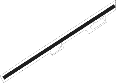
Sparti
Airport details
| Country | Greece |
| State | Peloponnese, Western Greece and the Ioni |
| Region | LG |
| Airspace | Athens Ctr |
| Municipality | Municipality of Eurotas |
| Elevation | 499ft (152m) |
| Timezone | GMT +2 |
| Coordinates | 36.97389, 22.52611 |
| Magnetic var | |
| Type | land |
| Available since | X-Plane v10.40 |
| ICAO code | LGSP |
| IATA code | SPJ |
| FAA code | n/a |
Communication
Nearby Points of Interest:
Mystras castle
-Saint George church (Mystras)
-Cave of Caiada
-Parnon
-Cathedral of Ypapanti, Kalamata
-Moustos wetland
-Villa of Herodes Atticus
Nearby beacons
| code | identifier | dist | bearing | frequency |
|---|---|---|---|---|
| KAM | KALAMATA VOR/DME | 24.7 | 280° | 112.60 |
| KLM | KALAMATA TACAN | 25 | 282° | 115.20 |
| TRL | TRIPOLIS VOR/DME | 27.3 | 337° | 116.20 |
| DDM | DIDIMON VOR/DME | 44.8 | 54° | 117.20 |
| KTR | KITHIRA TACAN | 45.1 | 148° | 109.40 |
| KIT | KITHIRA NDB | 48 | 145° | 372 |
| KTH | KITHIRA VOR/DME | 48 | 145° | 113.80 |
| KOR | KORINTHOS NDB | 60.6 | 23° | 392 |
| EGN | AIGINA NDB | 64.1 | 49° | 382 |
Disclaimer
The information on this website is not for real aviation. Use this data with the X-Plane flight simulator only! Data taken with kind consent from X-Plane 12 source code and data files. Content is subject to change without notice.
