Trípoli - Tripolis
Airport details
| Country | Greece |
| State | Peloponnese, Western Greece and the Ioni |
| Region | LG |
| Airspace | Athens Ctr |
| Municipality | Municipal Unit of Tripoli |
| Elevation | 2112ft (644m) |
| Timezone | GMT +2 |
| Coordinates | 37.52673, 22.39968 |
| Magnetic var | |
| Type | land |
| Available since | X-Plane v10.40 |
| ICAO code | LGTP |
| IATA code | n/a |
| FAA code | n/a |
Communication
| Tripolis Tower | 122.100 |
Nearby Points of Interest:
Malliaropouleio municipal theater
-Greek Theatre of Mantinea
-Orchomenus
-Megalopolis
-Villa of Herodes Atticus
-House of the Tiles
-Moustos wetland
-Agios Adrianos Argolidas (Pilgrimage church)
-Midea
-Cave of Caiada
-Mystras castle
-Saint George church (Mystras)
-Talantion monastery
-Tower of Zarouhla
-Parnon
-Church of Agia Marina (Ligourio, Argolis)
-Cathedral of Ypapanti, Kalamata
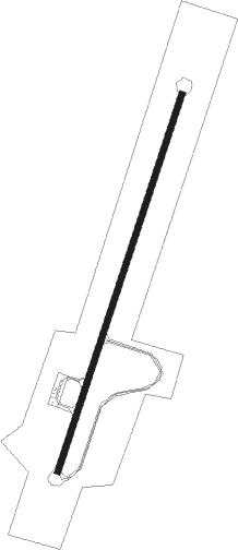
Runway info
| Runway 02 / 20 | ||
| length | 1950m (6398ft) | |
| bearing | 28° / 208° | |
| width | 30m (98ft) | |
| surface | asphalt | |
Nearby beacons
| code | identifier | dist | bearing | frequency |
|---|---|---|---|---|
| TRL | TRIPOLIS VOR/DME | 7.9 | 206° | 116.20 |
| KLM | KALAMATA TACAN | 32.4 | 220° | 115.20 |
| KAM | KALAMATA VOR/DME | 32.9 | 219° | 112.60 |
| KOR | KORINTHOS NDB | 35.1 | 53° | 392 |
| DDM | DIDIMON VOR/DME | 39 | 93° | 117.20 |
| MGR | MEGARA NDB | 53 | 65° | 405 |
| ARX | ARAXOS TACAN | 59.5 | 303° | 112.40 |
| ARA | ARAXOS VOR/DME | 59.6 | 303° | 112.70 |
Disclaimer
The information on this website is not for real aviation. Use this data with the X-Plane flight simulator only! Data taken with kind consent from X-Plane 12 source code and data files. Content is subject to change without notice.