Békéscsaba
Airport details
| Country | Hungary |
| State | Békés |
| Region | LH |
| Airspace | Budapest Ctr |
| Municipality | Békéscsaba |
| Elevation | 282ft (86m) |
| Timezone | GMT +1 |
| Coordinates | 46.68333, 21.16250 |
| Magnetic var | |
| Type | land |
| Available since | X-Plane v11.20 |
| ICAO code | LHBC |
| IATA code | n/a |
| FAA code | n/a |
Communication
| Békéscsaba Békéscsaba INFO | 123.250 |
Nearby Points of Interest:
state stud-farm estate of Mezőhegyes
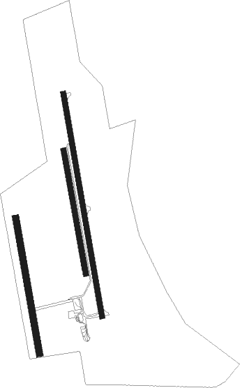
Runway info
Runway 17L / 35R  | ||
| length | 1301m (4268ft) | |
| bearing | 172° / 352° | |
| width | 30m (98ft) | |
| surface | asphalt | |
| Runway 17C / 35C | ||
| length | 720m (2362ft) | |
| bearing | 172° / 352° | |
| width | 30m (98ft) | |
| surface | grass | |
| Runway 17R / 35L | ||
| length | 790m (2592ft) | |
| bearing | 172° / 352° | |
| width | 40m (131ft) | |
| surface | grass | |
Nearby beacons
| code | identifier | dist | bearing | frequency |
|---|---|---|---|---|
| BC | BEKESCSABA NDB | 1.1 | 172° | 400 |
| BKS | BEKES VOR/DME | 7.8 | 323° | 115.80 |
| ARD | ARAD NDB | 29.9 | 182° | 517 |
| O | ORADEA NDB | 37.5 | 64° | 360 |
| ORA | ORADEA NDB | 40 | 61° | 418 |
| AO | SZOLNOK NDB | 45.7 | 293° | 282 |
| A | SZOLNOK NDB | 46 | 294° | 422 |
| O | SZOLNOK NDB | 46.5 | 296° | 422 |
| OA | SZOLNOK NDB | 46.9 | 298° | 282 |
| DC | DEBRECEN NDB | 49.2 | 27° | 295 |
| C | DEBRECEN NDB | 50.7 | 29° | 326 |
| TA | TIMISOARA NDB | 50.9 | 175° | 378 |
| TSR | TRAIAN VUIA (TIMISOARA) NDB | 52.3 | 171° | 408 |
| TIM | TRAIAN VUIA (TIMISOARA) NDB | 53.6 | 167° | 338 |
| EN | DEBRECEN NDB | 55.3 | 32° | 383 |
| CNI | DME | 59 | 195° | 115.60 |
| LGJ | LUGOJ TACAN | 67.4 | 139° | 134 |
Instrument approach procedures
| runway | airway (heading) | route (dist, bearing) |
|---|---|---|
| RW17L | BC001 (352°) | BC001 4000ft BC007 (11mi, 30°) 1800ft BC008 (5mi, 266°) 1800ft |
| RNAV | BC008 1800ft BC019 (4mi, 172°) 1800ft LHBC (5mi, 172°) 333ft BC011 (9mi, 172°) 1700ft BC001 (8mi, 352°) 4000ft BC001 (turn) 4000ft | |
| RW35R | BC001 (352°) | BC001 4000ft BC012 (6mi, 233°) 2000ft BC002 (4mi, 172°) 1800ft BC003 (4mi, 86°) 1800ft |
| RNAV | BC003 1800ft BC014 (4mi, 352°) 1800ft LHBC (5mi, 352°) 336ft BC006 (6mi, 352°) 1300ft BC001 (7mi, 172°) 4000ft BC001 (turn) 4000ft |
Disclaimer
The information on this website is not for real aviation. Use this data with the X-Plane flight simulator only! Data taken with kind consent from X-Plane 12 source code and data files. Content is subject to change without notice.