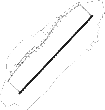
Debrecen
Airport details
| Country | Hungary |
| State | Hajdu-Bihar |
| Region | LH |
| Airspace | Budapest Ctr |
| Municipality | Debrecen |
| Elevation | 354ft (108m) |
| Timezone | GMT +1 |
| Coordinates | 47.48889, 21.61528 |
| Magnetic var | |
| Type | land |
| Available since | X-Plane v10.40 |
| ICAO code | LHDC |
| IATA code | DEB |
| FAA code | n/a |
Communication
| Debrecen Debrecen Tower | 125.910 |
| Debrecen Budapest Info (East) | 133.000 |
Approach frequencies
| ILS-cat-I | RW04R | 110.1 | 18.00mi |
| 3° GS | RW04R | 110.1 | 18.00mi |
Nearby beacons
| code | identifier | dist | bearing | frequency |
|---|---|---|---|---|
| C | DEBRECEN NDB | 1.2 | 239° | 326 |
| DC | DEBRECEN NDB | 2.8 | 238° | 295 |
| EN | DEBRECEN NDB | 3.9 | 59° | 383 |
| NY | NYIREGYHAZA 36 NDB | 25.5 | 10° | 330 |
| ORA | ORADEA NDB | 26.5 | 142° | 418 |
| Y | NYIREGYHAZA 36 NDB | 28.9 | 9° | 346 |
| O | ORADEA NDB | 29.1 | 147° | 360 |
| NYR | NYIREGYHAZA VOR/DME | 30.3 | 9° | 116.10 |
| PQ | NYIREGYHAZA NDB | 30.9 | 9° | 522 |
| SAG | SAJOHIDVEG VOR/DME | 39.9 | 310° | 114.40 |
| BKS | BEKES VOR/DME | 46.9 | 218° | 115.80 |
| BC | BEKESCSABA NDB | 52.8 | 209° | 400 |
Departure and arrival routes
| Transition altitude | 9000ft |
| SID end points | distance | outbound heading | |
|---|---|---|---|
| RW04R | |||
| PERI6D | 18mi | 1° | |
| NARK6D | 18mi | 135° | |
| VERI6D | 20mi | 161° | |
| RW22L | |||
| PERI3D | 18mi | 1° | |
| NARK3D | 18mi | 135° | |
| VERI3D | 20mi | 161° | |
| STAR starting points | distance | inbound heading | |
|---|---|---|---|
| ALL | |||
| PERI6A | 17.9 | 181° | |
| NARK6A | 17.5 | 315° | |
| VERI6A | 19.5 | 341° | |
Instrument approach procedures
| runway | airway (heading) | route (dist, bearing) |
|---|---|---|
| RW04R | DC001 (58°) | DC001 5000ft DC031 (6mi, 127°) 4500ft DC032 (7mi, 247°) 3400ft DC033 (5mi, 307°) 2800ft |
| RW04R | DC031 (336°) | DC031 4500ft DC032 (7mi, 247°) 3400ft DC033 (5mi, 307°) 2800ft |
| RW04R | DC032 (30°) | DC032 3400ft DC033 (5mi, 307°) 2800ft |
| RNAV | DC033 2800ft DC021 (3mi, 58°) 2500ft DC022 (6mi, 58°) 410ft DC034 (9mi, 59°) 1700ft DC001 (11mi, 239°) 4000ft DC001 (turn) 4000ft | |
| RW22L | DC001 (58°) | DC001 5000ft DC002 (13mi, 74°) 2500ft DC003 (4mi, 307°) 2500ft |
| RNAV | DC003 2500ft DC004 (4mi, 239°) 2000ft DC005 (5mi, 239°) 409ft DC006 (10mi, 238°) 2000ft DC001 (6mi, 58°) 4000ft DC001 (turn) 4000ft |
Disclaimer
The information on this website is not for real aviation. Use this data with the X-Plane flight simulator only! Data taken with kind consent from X-Plane 12 source code and data files. Content is subject to change without notice.
