Jakabszállás
Airport details
| Country | Hungary |
| State | Bács-Kiskun |
| Region | LH |
| Airspace | Budapest Ctr |
| Municipality | Jakabszállás |
| Elevation | 360ft (110m) |
| Timezone | GMT +1 |
| Coordinates | 46.74760, 19.60524 |
| Magnetic var | |
| Type | land |
| Available since | X-Plane v10.40 |
| ICAO code | LHJK |
| IATA code | n/a |
| FAA code | n/a |
Communication
Nearby Points of Interest:
Kecskemét City Hall
-Upper Kiskunság alkaline steppes
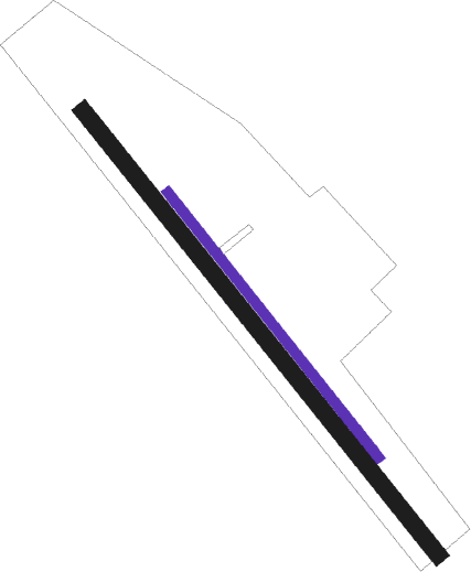
Runway info
| Runway 14L / 32R | ||
| length | 597m (1959ft) | |
| bearing | 135° / 315° | |
| width | 18m (59ft) | |
| surface | asphalt | |
Runway 14R / 32L  | ||
| length | 1001m (3284ft) | |
| bearing | 135° / 315° | |
| width | 30m (98ft) | |
| surface | grass | |
Nearby beacons
| code | identifier | dist | bearing | frequency |
|---|---|---|---|---|
| BUG | BUGAC VOR/DME | 5.2 | 132° | 113.40 |
| KET | KECSKEMET VORTAC | 11.8 | 34° | 114.15 |
| T | KECSKEMET NDB | 11.8 | 47° | 440 |
| N | KECSKEMET NDB | 11.9 | 33° | 440 |
| TN | KECSKEMET NDB | 11.9 | 54° | 313 |
| NT | KECSKEMET NDB | 12.3 | 23° | 313 |
| AO | SZOLNOK NDB | 31.9 | 61° | 282 |
| A | SZOLNOK NDB | 33.3 | 60° | 422 |
| O | SZOLNOK NDB | 35.1 | 59° | 422 |
| MNR | MONOR VOR/DME | 36.1 | 341° | 112.50 |
| SEG | SZEGED NDB | 36.4 | 136° | 456 |
| OA | SZOLNOK NDB | 36.6 | 58° | 282 |
| PTB | PUSZTASZABOLCS VOR/DME | 42.9 | 295° | 117.10 |
| BUD | BUDAPEST VOR/DME | 44.6 | 333° | 117.30 |
| TPS | TAPIOSAP VOR/DME | 45.2 | 348° | 115.90 |
Disclaimer
The information on this website is not for real aviation. Use this data with the X-Plane flight simulator only! Data taken with kind consent from X-Plane 12 source code and data files. Content is subject to change without notice.