Karcag - Kunmadaras
Airport details
| Country | Hungary |
| State | Jász-Nagykun-Szolnok |
| Region | LH |
| Airspace | Budapest Ctr |
| Municipality | Kunmadaras |
| Elevation | 291ft (89m) |
| Timezone | GMT +1 |
| Coordinates | 47.39041, 20.78383 |
| Magnetic var | |
| Type | land |
| Available since | X-Plane v10.40 |
| ICAO code | LHKM |
| IATA code | n/a |
| FAA code | n/a |
Communication
| Kunmadaras Kunmadaras INFO | 123.200 |
Nearby Points of Interest:
Tisza-tavi madárrezervátum
-Borsodi Mezőség Tájvédelmi Körzet
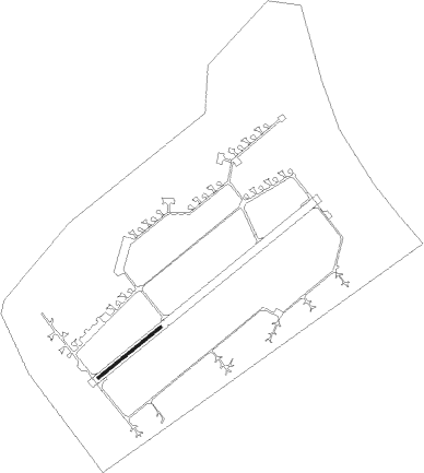
Runway info
| Runway 05 / 23 | ||
| length | 701m (2300ft) | |
| bearing | 65° / 245° | |
| width | 25m (82ft) | |
| surface | concrete | |
Nearby beacons
| code | identifier | dist | bearing | frequency |
|---|---|---|---|---|
| OA | SZOLNOK NDB | 25.3 | 247° | 282 |
| O | SZOLNOK NDB | 26.7 | 245° | 422 |
| A | SZOLNOK NDB | 28.4 | 243° | 422 |
| AO | SZOLNOK NDB | 29.8 | 242° | 282 |
| DC | DEBRECEN NDB | 31.9 | 85° | 295 |
| C | DEBRECEN NDB | 33.2 | 84° | 326 |
| BKS | BEKES VOR/DME | 37.3 | 154° | 115.80 |
| EN | DEBRECEN NDB | 37.7 | 81° | 383 |
| SAG | SAJOHIDVEG VOR/DME | 38 | 19° | 114.40 |
| BC | BEKESCSABA NDB | 46.2 | 152° | 400 |
| NY | NYIREGYHAZA 36 NDB | 48.1 | 60° | 330 |
| TN | KECSKEMET NDB | 49.8 | 243° | 313 |
| Y | NYIREGYHAZA 36 NDB | 50.5 | 58° | 346 |
| NYR | NYIREGYHAZA VOR/DME | 51.4 | 57° | 116.10 |
| PQ | NYIREGYHAZA NDB | 51.9 | 56° | 522 |
Disclaimer
The information on this website is not for real aviation. Use this data with the X-Plane flight simulator only! Data taken with kind consent from X-Plane 12 source code and data files. Content is subject to change without notice.