Maklár
Airport details
| Country | Hungary |
| State | Heves |
| Region | LH |
| Airspace | Budapest Ctr |
| Municipality | Maklár |
| Elevation | 541ft (165m) |
| Timezone | GMT +1 |
| Coordinates | 47.81163, 20.42225 |
| Magnetic var | |
| Type | land |
| Available since | X-Plane v10.40 |
| ICAO code | LHMR |
| IATA code | n/a |
| FAA code | n/a |
Communication
| Maklár Maklár INFO (Unicorn) | 128.800 |
Nearby Points of Interest:
Tisza-tavi madárrezervátum
-Pusztafogacs
-Borsodi Mezőség Tájvédelmi Körzet
-Sár Hill
-Mátra
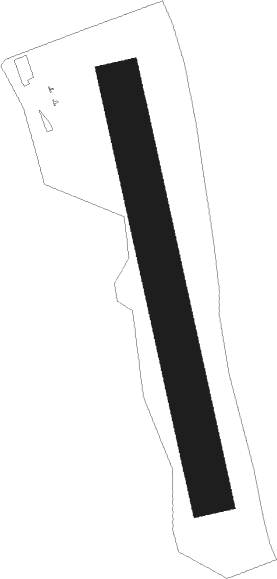
Runway info
| Runway 17 / 35 | ||
| length | 801m (2628ft) | |
| bearing | 168° / 348° | |
| width | 80m (262ft) | |
| surface | grass | |
Nearby beacons
| code | identifier | dist | bearing | frequency |
|---|---|---|---|---|
| SAG | SAJOHIDVEG VOR/DME | 25.9 | 71° | 114.40 |
| OA | SZOLNOK NDB | 39.5 | 194° | 282 |
| O | SZOLNOK NDB | 41.1 | 195° | 422 |
| A | SZOLNOK NDB | 43.1 | 196° | 422 |
| TPS | TAPIOSAP VOR/DME | 43.8 | 252° | 115.90 |
| AO | SZOLNOK NDB | 44.7 | 196° | 282 |
| KE | KOSICE NDB | 56.4 | 46° | 425 |
| NT | KECSKEMET NDB | 60 | 220° | 313 |
| N | KECSKEMET NDB | 60.1 | 218° | 440 |
| KET | KECSKEMET VORTAC | 60.2 | 218° | 114.15 |
| T | KECSKEMET NDB | 60.4 | 216° | 440 |
| TN | KECSKEMET NDB | 60.6 | 214° | 313 |
| KSC | KOSICE VOR/DME | 61.8 | 43° | 108.20 |
Disclaimer
The information on this website is not for real aviation. Use this data with the X-Plane flight simulator only! Data taken with kind consent from X-Plane 12 source code and data files. Content is subject to change without notice.