Pápa - Pápa (párduc)
Airport details
| Country | Hungary |
| State | Veszprém |
| Region | LH |
| Airspace | Budapest Ctr |
| Municipality | Nagygyimót |
| Elevation | 475ft (145m) |
| Timezone | GMT +1 |
| Coordinates | 47.35348, 17.50352 |
| Magnetic var | |
| Type | land |
| Available since | X-Plane v10.40 |
| ICAO code | LHPA |
| IATA code | n/a |
| FAA code | n/a |
Communication
| Pápa (Párduc) Pápa Tower | 129.500 |
| Pápa (Párduc) Pápa Approach | 131.250 |
Approach frequencies
| ILS-cat-I | RW34 | 110.35 | 18.00mi |
| ILS-cat-I | RW16 | 108.55 | 18.00mi |
| 3° GS | RW34 | 110.35 | 18.00mi |
| 3° GS | RW16 | 108.55 | 18.00mi |
Nearby Points of Interest:
Pauline monastery ruin
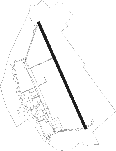
Runway info
| Runway 16 / 34 | ||
| length | 2402m (7881ft) | |
| bearing | 152° / 332° | |
| width | 60m (197ft) | |
| surface | concrete | |
| blast zone | 149m (489ft) / 150m (492ft) | |
Nearby beacons
| code | identifier | dist | bearing | frequency |
|---|---|---|---|---|
| P | PAPA NDB | 0.5 | 141° | 493 |
| C | PAPA NDB | 1.7 | 337° | 493 |
| PCT | PAPA VORTAC | 1.7 | 335° | 114.75 |
| PC | PAPA NDB | 2.2 | 149° | 318 |
| CP | PAPA NDB | 3.3 | 334° | 318 |
| GYR | GYOR VOR/DME | 20.4 | 36° | 115.10 |
| SVR | SAGVAR VOR/DME | 40.3 | 131° | 117.70 |
| SME | SARMELLEK NDB | 43.5 | 206° | 436 |
| OB | STEFANIK SOUTH NDB | 46.4 | 345° | 330 |
| B | BARKA (BRATISLAVA) NDB | 49 | 342° | 438 |
| JAN | JANOVCE VOR/DME | 49.5 | 3° | 110.80 |
| OKR | STEFANIK NORTH NDB | 52.9 | 346° | 391 |
| BRK | BRUCK NDB | 53.1 | 312° | 408 |
| FMD | FISCHAMEND VOR/DME | 57.3 | 311° | 110.40 |
| NIT | NITRA VOR/DME | 60.4 | 30° | 116.50 |
Instrument approach procedures
| runway | airway (heading) | route (dist, bearing) |
|---|---|---|
| RW16 | PA015 (125°) | PA015 4000ft PA009 (5mi, 76°) 3000ft |
| RW16 | PA016 (188°) | PA016 4000ft PA009 (5mi, 256°) 3000ft |
| RNAV | PA009 3000ft PA010 (5mi, 152°) 2000ft CP (2mi, 152°) 1190ft PA011 (2mi, 152°) 688ft PA012 (9mi, 152°) 2500ft PA013 (6mi, 256°) 3000ft PA014 (8mi, 336°) 4000ft | |
| RW34 | PA007 (6°) | PA007 4000ft PA001 (5mi, 76°) 3000ft |
| RW34 | PA008 (305°) | PA008 4000ft PA001 (5mi, 256°) 3000ft |
| RNAV | PA001 3000ft PA002 (5mi, 332°) 2500ft PC (4mi, 332°) 1250ft PA003 (2mi, 332°) 718ft PA004 (10mi, 332°) 2500ft PA005 (7mi, 255°) 3000ft PA006 (9mi, 147°) 5000ft |
Disclaimer
The information on this website is not for real aviation. Use this data with the X-Plane flight simulator only! Data taken with kind consent from X-Plane 12 source code and data files. Content is subject to change without notice.