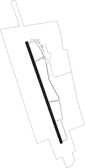
Sármellék - Hévíz-balaton
Airport details
| Country | Hungary |
| State | Zala |
| Region | LH |
| Airspace | Budapest Ctr |
| Municipality | Zalavár |
| Elevation | 408ft (124m) |
| Timezone | GMT +1 |
| Coordinates | 46.69357, 17.15977 |
| Magnetic var | |
| Type | land |
| Available since | X-Plane v10.40 |
| ICAO code | LHSM |
| IATA code | SOB |
| FAA code | n/a |
Communication
| Hévíz-Balaton LHSM Tower | 134.575 |
Approach frequencies
| ILS-cat-I | RW16 | 108.75 | 18.00mi |
| 3° GS | RW16 | 108.75 | 18.00mi |
Nearby Points of Interest:
Little Balaton
-Alsó-Rába-völgy
Nearby beacons
| code | identifier | dist | bearing | frequency |
|---|---|---|---|---|
| SME | SARMELLEK NDB | 1.6 | 166° | 436 |
| VAR | VARAZDIN NDB | 39.7 | 244° | 344 |
| SVR | SAGVAR VOR/DME | 40.2 | 82° | 117.70 |
| PC | PAPA NDB | 40.3 | 30° | 318 |
| P | PAPA NDB | 41.6 | 28° | 493 |
| PCT | PAPA VORTAC | 43.4 | 26° | 114.75 |
| C | PAPA NDB | 43.5 | 26° | 493 |
| CP | PAPA NDB | 44.7 | 24° | 318 |
| VBA | BARNA VOR/DME | 56.8 | 181° | 117.40 |
| ZAG | ZAGREB NDB | 59.2 | 227° | 367 |
| ZAG | ZAGREB VOR/DME | 59.5 | 227° | 113.70 |
| GYR | GYOR VOR/DME | 62.3 | 30° | 115.10 |
| SK | S.KRALJEVEC (ZAGREB) NDB | 67.4 | 228° | 350 |
Departure and arrival routes
| Transition altitude | 9000ft |
| SID end points | distance | outbound heading | |
|---|---|---|---|
| RW16 | |||
| SUNO1S | 14mi | 147° | |
| NALO1S | 18mi | 297° | |
| RW34 | |||
| SUNO1N | 14mi | 147° | |
| NALO1N | 18mi | 297° | |
Instrument approach procedures
| runway | airway (heading) | route (dist, bearing) |
|---|---|---|
| RW16 | SM001 (69°) | SM001 4000ft SM002 (9mi, 322°) 2100ft SM003 (5mi, 80°) 2100ft |
| RNAV | SM003 2100ft SM014 (4mi, 159°) 1700ft SM005 (4mi, 159°) 466ft SM006 (10mi, 159°) 1800ft SM001 (9mi, 316°) 4000ft SM001 (turn) 4000ft | |
| RW34 | SM007 (45°) | SM007 4000ft SM008 (6mi, 183°) 2100ft SM009 (5mi, 80°) 2100ft |
| RNAV | SM009 2100ft SM010 (4mi, 339°) 1700ft SM011 (4mi, 339°) 449ft SM012 (8mi, 339°) 1700ft SM007 (11mi, 185°) 4000ft SM007 (turn) 4000ft |
Disclaimer
The information on this website is not for real aviation. Use this data with the X-Plane flight simulator only! Data taken with kind consent from X-Plane 12 source code and data files. Content is subject to change without notice.