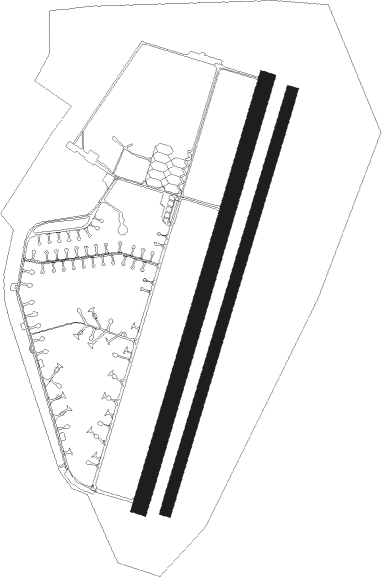
Szolnok - Szolnok Air Base
Airport details
| Country | Hungary |
| State | Jász-Nagykun-Szolnok |
| Region | LH |
| Airspace | Budapest Ctr |
| Municipality | Szolnok |
| Elevation | 282ft (86m) |
| Timezone | GMT +1 |
| Coordinates | 47.12278, 20.23556 |
| Magnetic var | |
| Type | land |
| Available since | X-Plane v10.40 |
| ICAO code | LHSN |
| IATA code | n/a |
| FAA code | n/a |
Communication
| Szolnok Air Base OPERA Tower | 129.000 |
| Szolnok Air Base OPERA Tower | 130.250 |
Nearby Points of Interest:
Kecskemét City Hall

Nearby beacons
| code | identifier | dist | bearing | frequency |
|---|---|---|---|---|
| O | SZOLNOK NDB | 0.9 | 30° | 422 |
| A | SZOLNOK NDB | 1.1 | 210° | 422 |
| AO | SZOLNOK NDB | 2.6 | 210° | 282 |
| OA | SZOLNOK NDB | 2.6 | 30° | 282 |
| TN | KECSKEMET NDB | 22.3 | 242° | 313 |
| T | KECSKEMET NDB | 22.9 | 245° | 440 |
| KET | KECSKEMET VORTAC | 23.9 | 249° | 114.15 |
| N | KECSKEMET NDB | 23.9 | 249° | 440 |
| NT | KECSKEMET NDB | 24.8 | 252° | 313 |
| BUG | BUGAC VOR/DME | 35 | 231° | 113.40 |
| MNR | MONOR VOR/DME | 36.1 | 284° | 112.50 |
| TPS | TAPIOSAP VOR/DME | 39 | 295° | 115.90 |
| BKS | BEKES VOR/DME | 39.4 | 111° | 115.80 |
| BUD | BUDAPEST VOR/DME | 44.7 | 288° | 117.30 |
| BC | BEKESCSABA NDB | 47 | 116° | 400 |
| SEG | SZEGED NDB | 53.3 | 189° | 456 |
| SAG | SAJOHIDVEG VOR/DME | 61.4 | 41° | 114.40 |
| ARD | ARAD VOR/DME | 67.6 | 136° | 109 |
| ARD | ARAD NDB | 67.7 | 136° | 517 |
Instrument approach procedures
| runway | airway (heading) | route (dist, bearing) |
|---|---|---|
| RW02 | SN001 (210°) | SN001 6000ft SN002 (12mi, 183°) 3200ft SN003 (4mi, 285°) 2500ft |
| RW02 | SN002 (357°) | SN002 3200ft SN003 (4mi, 285°) 2500ft |
| RNAV | SN003 2500ft SN004 (3mi, 30°) 2500ft SN005 (5mi, 30°) 348ft SN006 (10mi, 38°) 2500ft SN001 (7mi, 222°) 4000ft SN001 (turn) 4000ft | |
| RW20 | SN007 (210°) | SN007 5000ft SN008 (8mi, 357°) 3300ft SN009 (3mi, 105°) 2900ft |
| RW20 | SN008 (187°) | SN008 3300ft SN009 (3mi, 105°) 2900ft |
| RNAV | SN009 2900ft SN010 (5mi, 210°) 1900ft SN011 (4mi, 210°) 523ft SN012 (6mi, 221°) 2500ft SN007 (8mi, 38°) 5000ft SN007 (turn) 5000ft |
Disclaimer
The information on this website is not for real aviation. Use this data with the X-Plane flight simulator only! Data taken with kind consent from X-Plane 12 source code and data files. Content is subject to change without notice.