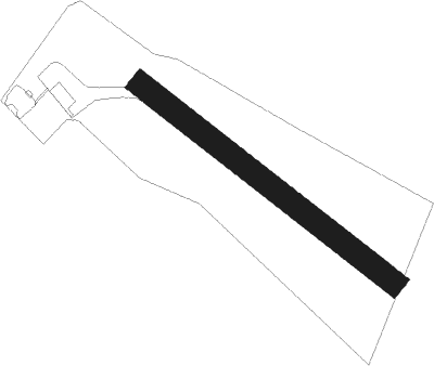
Surjány
Airport details
| Country | Hungary |
| State | Jász-Nagykun-Szolnok |
| Region | LH |
| Airspace | Budapest Ctr |
| Municipality | Törökszentmiklós |
| Elevation | 282ft (86m) |
| Timezone | GMT +1 |
| Coordinates | 47.20010, 20.48201 |
| Magnetic var | |
| Type | land |
| Available since | X-Plane v10.40 |
| ICAO code | LHSU |
| IATA code | n/a |
| FAA code | n/a |
Communication
| Surjány Surjány INFO | 123.200 |
Nearby beacons
| code | identifier | dist | bearing | frequency |
|---|---|---|---|---|
| OA | SZOLNOK NDB | 9.3 | 261° | 282 |
| O | SZOLNOK NDB | 10.4 | 255° | 422 |
| A | SZOLNOK NDB | 11.9 | 250° | 422 |
| AO | SZOLNOK NDB | 13.1 | 246° | 282 |
| TN | KECSKEMET NDB | 33.2 | 245° | 313 |
| T | KECSKEMET NDB | 33.8 | 247° | 440 |
| BKS | BEKES VOR/DME | 34.1 | 124° | 115.80 |
| KET | KECSKEMET VORTAC | 34.9 | 250° | 114.15 |
| N | KECSKEMET NDB | 35 | 250° | 440 |
| NT | KECSKEMET NDB | 35.9 | 252° | 313 |
| BC | BEKESCSABA NDB | 42.6 | 128° | 400 |
| BUG | BUGAC VOR/DME | 45.3 | 237° | 113.40 |
| SAG | SAJOHIDVEG VOR/DME | 52.8 | 32° | 114.40 |
| SEG | SZEGED NDB | 59.8 | 202° | 456 |
Disclaimer
The information on this website is not for real aviation. Use this data with the X-Plane flight simulator only! Data taken with kind consent from X-Plane 12 source code and data files. Content is subject to change without notice.