Taszár - Taszár (kaland)
Airport details
| Country | Hungary |
| State | Somogy |
| Region | |
| Airspace | Budapest Ctr |
| Municipality | Taszár |
| Elevation | 511ft (156m) |
| Timezone | GMT +1 |
| Coordinates | 46.40387, 17.91326 |
| Magnetic var | |
| Type | land |
| Available since | X-Plane v10.40 |
| ICAO code | LHTA |
| IATA code | TZR |
| FAA code | n/a |
Communication
| Taszár (Kaland) Emergency Radio | 123.000 |
Nearby Points of Interest:
Ádám–Éva-ház
-Zselic National Landscape Protection Area
-Zselic
-Pacsmag Fishponds Nature Conservation Area
-Szerecsen Patikamúzeum
-Early Christian Necropolis of Pécs
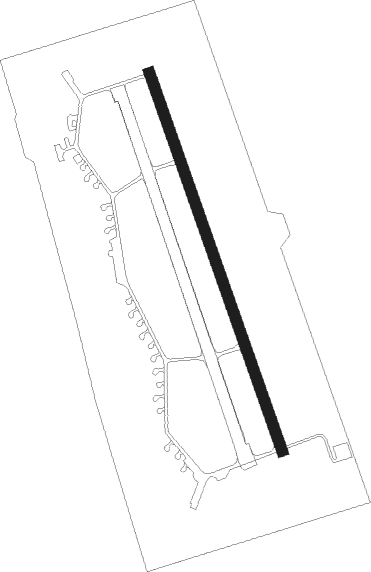
Runway info
| Runway 16 / 34 | ||
| length | 2501m (8205ft) | |
| bearing | 159° / 339° | |
| width | 70m (230ft) | |
| surface | concrete | |
| blast zone | 54m (177ft) / 71m (233ft) | |
Nearby beacons
| code | identifier | dist | bearing | frequency |
|---|---|---|---|---|
| SVR | SAGVAR VOR/DME | 26.8 | 26° | 117.70 |
| PP | POGANY (PECS) NDB | 27.3 | 141° | 412 |
| SME | SARMELLEK NDB | 34.6 | 289° | 436 |
| VBA | BARNA VOR/DME | 50.7 | 229° | 117.40 |
| PTB | PUSZTASZABOLCS VOR/DME | 56.4 | 48° | 117.10 |
| PC | PAPA NDB | 57.2 | 337° | 318 |
| P | PAPA NDB | 58.8 | 337° | 493 |
| CE | CEPIN NDB | 59.1 | 144° | 372 |
| C | PAPA NDB | 61.2 | 337° | 493 |
| PCT | PAPA VORTAC | 61.2 | 337° | 114.75 |
| KLS | DME-ILS | 67.2 | 137° | 109.35 |
| OSJ | OSIJEK NDB | 68.8 | 136° | 422 |
Disclaimer
The information on this website is not for real aviation. Use this data with the X-Plane flight simulator only! Data taken with kind consent from X-Plane 12 source code and data files. Content is subject to change without notice.