Zalaegerszeg - Zalaegerszeg-andráshida
Airport details
| Country | Hungary |
| State | Zala |
| Region | LH |
| Airspace | Budapest Ctr |
| Municipality | Zalaegerszeg |
| Elevation | 643ft (196m) |
| Timezone | GMT +1 |
| Coordinates | 46.88383, 16.78906 |
| Magnetic var | |
| Type | land |
| Available since | X-Plane v10.40 |
| ICAO code | LHZA |
| IATA code | n/a |
| FAA code | n/a |
Communication
| Zalaegerszeg-Andráshida Zalaegerszeg repülõtér | 133.425 |
Nearby Points of Interest:
Alsó-Rába-völgy
-Hodoš Lutheran Church
-Kobilje
-St. Nicholas's Parish Church
-Little Balaton
-Alte Hofmühle
-St. Martin's Church (Domanjševci)
-Kapela sv. Križa, Bukovnica
-Saint Vitus Chapel, Strehovci
-Kapela, Adrijanci
-Potyondi-mocsár
-Lendava
-Holy Trinity Church
-Kapela Marije Pomočnice, Filovci
-Pottery village
-St. Benedict Parish Church
-Assumption of Mary church, Turnišče
-Wegkapelle
-Sacred Heart of Jesus Parish Church
-Moravske Toplice Lutheran Church
-Leseni vaški zvonik v Dolini
-Kapela sv. Petra in Pavla, Lukačevci
-Kapela sv. Florjana, Žižki
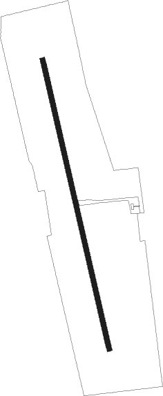
Runway info
| Runway 17 / 35 | ||
| length | 1478m (4849ft) | |
| bearing | 168° / 348° | |
| width | 25m (82ft) | |
| surface | grass | |
Nearby beacons
| code | identifier | dist | bearing | frequency |
|---|---|---|---|---|
| SME | SARMELLEK NDB | 20.3 | 120° | 436 |
| STK | KOGEL DME | 35.2 | 267° | 114.55 |
| VAR | VARAZDIN NDB | 38.4 | 216° | 344 |
| PC | PAPA NDB | 39.8 | 59° | 318 |
| P | PAPA NDB | 40.4 | 57° | 493 |
| GBG | GLEICHENBERG NDB | 40.5 | 270° | 426 |
| C | PAPA NDB | 41.4 | 55° | 493 |
| PCT | PAPA VORTAC | 41.4 | 55° | 114.75 |
| CP | PAPA NDB | 42.1 | 53° | 318 |
| MR | MARIBOR NDB | 51.3 | 243° | 334 |
| GYR | GYOR VOR/DME | 60.1 | 50° | 115.10 |
| ZAG | ZAGREB NDB | 62.2 | 206° | 367 |
| ZAG | ZAGREB VOR/DME | 62.6 | 206° | 113.70 |
| SNU | SOLLENAU VOR/DME | 62.9 | 333° | 115.50 |
Disclaimer
The information on this website is not for real aviation. Use this data with the X-Plane flight simulator only! Data taken with kind consent from X-Plane 12 source code and data files. Content is subject to change without notice.