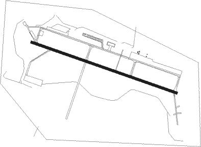
Foggia - Amendola
Airport details
| Country | Italy |
| State | Apulia |
| Region | LI |
| Airspace | Brindisi Ctr |
| Municipality | Manfredonia |
| Elevation | 183ft (56m) |
| Timezone | GMT +1 |
| Coordinates | 41.53137, 15.72740 |
| Magnetic var | |
| Type | land |
| Available since | X-Plane v10.32 |
| ICAO code | LIBA |
| IATA code | n/a |
| FAA code | n/a |
Communication
| Amendola Tower | 122.100 |
| Amendola Approach | 118.850 |
| Amendola Tower | 118.200 |
Approach frequencies
| ILS-cat-I | RW29R | 108.3 | 18.00mi |
| 3° GS | RW29R | 108.3 | 18.00mi |
Nearby Points of Interest:
Giuseppe Fiorelli Civic Museum
-Museo del Grano
-réserve naturelle Foresta Umbra
Nearby beacons
| code | identifier | dist | bearing | frequency |
|---|---|---|---|---|
| MNL | AMENDOLA TACAN | 1.9 | 293° | 115.25 |
| FOG | FOGGIA NDB | 10.6 | 243° | 340 |
| FGG | FOGGIA VOR/DME | 10.7 | 243° | 115.80 |
| VIE | VIESTE VOR/DME | 27 | 40° | 112.60 |
| VIE | VIESTE NDB | 27.1 | 40° | 405 |
| BPL | PALESE (BARI) NDB | 49 | 114° | 401 |
| PTC | PONTECAGNANO (SALERNO) NDB | 66.1 | 222° | 324 |
Departure and arrival routes
| Transition altitude | 7000ft |
| SID end points | distance | outbound heading | |
|---|---|---|---|
| RW11L | |||
| VIE6C, VIE6D | 27mi | 40° | |
| UVOK6B | 52mi | 98° | |
| TOPN6M | 39mi | 147° | |
| EKTO6M | 36mi | 233° | |
| ERPO6M | 62mi | 331° | |
| RW29R | |||
| VIE6E, VIE6F | 27mi | 40° | |
| UVOK5C | 52mi | 98° | |
| TOPN6N | 39mi | 147° | |
| EKTO6N | 36mi | 233° | |
| ERPO6N | 62mi | 331° | |
Disclaimer
The information on this website is not for real aviation. Use this data with the X-Plane flight simulator only! Data taken with kind consent from X-Plane 12 source code and data files. Content is subject to change without notice.
