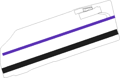
Asiago
Airport details
| Country | Italy |
| State | Veneto |
| Region | LI |
| Airspace | Milan Ctr |
| Municipality | Asiago |
| Elevation | 3409ft (1039m) |
| Timezone | GMT +1 |
| Coordinates | 45.88778, 11.51667 |
| Magnetic var | |
| Type | land |
| Available since | X-Plane v10.32 |
| ICAO code | LIDA |
| IATA code | n/a |
| FAA code | n/a |
Communication
Nearby Points of Interest:
Altopiano dei Sette Comuni
-Santo Spirito Church
-Santa Giustina
-Thiene Airport
-Base Tuono
-Parco la Favorita
-Gocciadoro
-Collegio dei Gesuiti
-City of Vicenza and the Palladian Villas of the Veneto
-historic center of Vicenza
-San Giovanni Nepomuceno
-Museo di archeologia e scienze naturali Giuseppe Zannato
-Bus del Diaol
-Centro di Documentazione Stava
-Palazzo Firmian
-Sant'Antonio di Padova
-St. Martin
-Santi Pietro e Paolo
-St. Blaise
-St. Nicholas
-Palais Longo
-St. Bartholomew
Nearby beacons
| code | identifier | dist | bearing | frequency |
|---|---|---|---|---|
| VIC | VICENZA NDB | 16.4 | 148° | 417 |
| TNT | TRENTO VOR/DME | 17.6 | 289° | 115.35 |
| ISA | ISTRANA TACAN | 27.8 | 108° | 111.70 |
| TRE | TREVISO NDB | 29 | 115° | 301 |
| TEV | DME-ILS | 31.4 | 110° | 108.55 |
| OZE | BOLZANO VOR/DME | 32.4 | 337° | 117.05 |
| IPD | DME-ILS | 32.7 | 146° | 111.30 |
| AVI | AVIANO NDB | 38.1 | 88° | 390 |
| VIL | VILLAFRANCA VORTAC | 38.5 | 232° | 115.80 |
| TES | TESSERA VOR/DME | 42 | 113° | 115.30 |
| CHI | CHIOGGIA NDB | 58.6 | 137° | 408 |
Disclaimer
The information on this website is not for real aviation. Use this data with the X-Plane flight simulator only! Data taken with kind consent from X-Plane 12 source code and data files. Content is subject to change without notice.

