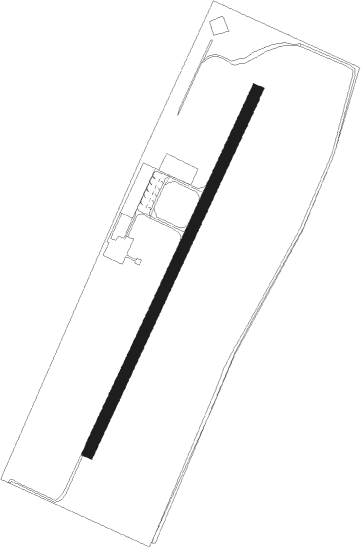
Lugo - Lugo Di Romagna
Airport details
| Country | Italy |
| State | Emilia-Romagna |
| Region | LI |
| Airspace | Milan Ctr |
| Municipality | Bagnara di Romagna |
| Elevation | 62ft (19m) |
| Timezone | GMT +1 |
| Coordinates | 44.39826, 11.85386 |
| Magnetic var | |
| Type | land |
| Available since | X-Plane v10.40 |
| ICAO code | LIDG |
| IATA code | n/a |
| FAA code | n/a |
Communication
| LUGO di Romagna Lugo Radio | 119.650 |
Nearby Points of Interest:
Chiesa di San Petronio Vescovo
-Imola Italian unification museum
-Casa Piani
-Palazzo Vescovile
-Palazzo Pasolini Zanelli
-Palazzo Milzetti
-chiesa di Sant'Apollinare
-Via degli Asini
-Pieve di San Pietro in Trento
-Palazzo Manzoni
-Palazzo Sassi Masini (Forlì)
-Palazzo Merlini
-Palazzo Gaddi
-Palazzo Albicini
-Villa Saffi
-Monte di Pietà
-city hall
-Palazzo del Podestà
-Palazzo Paulucci de Calboli
-Palazzo dei Signori della Missione
-Palazzo del Merenda
-Palazzo dei Commissari o del Pretorio
-Santa Maria in Acquedotto
-former G.I.L. palace
-former aeronautical college palace
Nearby beacons
| code | identifier | dist | bearing | frequency |
|---|---|---|---|---|
| FOL | FORLI VOR/DME | 15.3 | 134° | 115.75 |
| CEV | CERVIA TACAN | 24.5 | 111° | 113.60 |
| BOA | BOLOGNA VOR/DME | 25.5 | 284° | 117.10 |
| RIM | RIMINI NDB | 33.9 | 116° | 335 |
| RIM | RIMINI VORTAC | 40 | 117° | 116.20 |
| RMN | (RIMINI) DME | 40.1 | 116° | 108.80 |
| CHI | CHIOGGIA NDB | 44.3 | 32° | 408 |
| PRT | PERETOLA (FLORENCE) VOR/DME | 45.1 | 228° | 112.50 |
| IPD | DME-ILS | 59.7 | 360° | 111.30 |
Disclaimer
The information on this website is not for real aviation. Use this data with the X-Plane flight simulator only! Data taken with kind consent from X-Plane 12 source code and data files. Content is subject to change without notice.