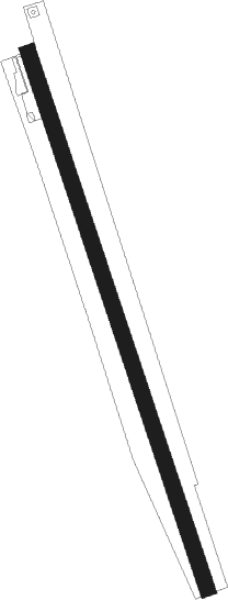
Legnago
Airport details
| Country | Italy |
| State | Veneto |
| Region | LI |
| Airspace | Milan Ctr |
| Municipality | Legnago |
| Elevation | 28ft (9m) |
| Timezone | GMT +1 |
| Coordinates | 45.13472, 11.29197 |
| Magnetic var | |
| Type | land |
| Available since | X-Plane v10.40 |
| ICAO code | LIDL |
| IATA code | n/a |
| FAA code | n/a |
Communication
| Legnago Legnago Radio | 119.730 |
Nearby Points of Interest:
Tombola archaeological site
-Archaeologic musuem of Castelnovo Bariano
-Annunciazione della Beata Vergine Maria
-Gorghi di Trecenta
-Santa Maria Assunta
-Santa Maria Addolorata e San Giovanni Battista
-Poggio Rusco
-San Lorenzo Church
-Chiesa di San Martino Vescovo
-Schivenoglia
-Valli mirandolesi
-Conca del Bertazzolo
-Archeological Museum of Isola della Scala
-Pieve of Our Lady of the Snow (Quarantoli)
-Chiesa di San Giovanni
-Museo etnografico della civiltà e del lavoro in Polesine
-Chiesa di Santa Giustina Vergine e Martire
-San Michele Arcangelo di Cividale di Mirandola
-Chiesa di San Leonardo Limosino
-Castello Carrobio
-Church of Gesù, Mirandola
-Castle of Pico
-Bagnolo San Vito
-Piazza della Costituente
-Palazzo della Ragione
Nearby beacons
| code | identifier | dist | bearing | frequency |
|---|---|---|---|---|
| VIL | VILLAFRANCA VORTAC | 23.1 | 305° | 115.80 |
| IPD | DME-ILS | 28 | 65° | 111.30 |
| VIC | VICENZA NDB | 34.2 | 37° | 417 |
| BOA | BOLOGNA VOR/DME | 35.8 | 180° | 117.10 |
| CHI | CHIOGGIA NDB | 42.1 | 94° | 408 |
| TRE | TREVISO NDB | 44.8 | 59° | 301 |
| BSA | BRESCIA VOR/DME | 45 | 287° | 117.70 |
| ISA | ISTRANA TACAN | 48 | 56° | 111.70 |
| TEV | DME-ILS | 48.6 | 60° | 108.55 |
| TNT | TRENTO VOR/DME | 53.5 | 350° | 115.35 |
| FOL | FORLI VOR/DME | 65.5 | 140° | 115.75 |
Disclaimer
The information on this website is not for real aviation. Use this data with the X-Plane flight simulator only! Data taken with kind consent from X-Plane 12 source code and data files. Content is subject to change without notice.
