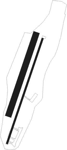
Bergamo (bg) - Valbrembo
Airport details
| Country | Italy |
| State | Lombardy |
| Region | LI |
| Airspace | Milan Ctr |
| Municipality | Valbrembo |
| Elevation | 752ft (229m) |
| Timezone | GMT +1 |
| Coordinates | 45.72055, 9.59361 |
| Magnetic var | |
| Type | land |
| Available since | X-Plane v10.40 |
| ICAO code | LILV |
| IATA code | n/a |
| FAA code | n/a |
Communication
| Valbrembo Valbrembo Radio | 122.605 |
Nearby Points of Interest:
Paladina
-Ponte San Pietro
-Almenno San Salvatore
-Almenno San Bartolomeo
-Ambivere
-Presezzo
-Strozza
-Sorisole
-Treviolo
-Santa Maria Maggiore
-San Michele all'Arco
-Civic Library Angelo Mai
-The Venetian Works of defence between 15th and 17th centuries
-Roncola
-Terno d'Isola
-Palazzo di Giustizia
-Bergamo
-Galleria d'arte moderna e contemporanea
-Pontida
-Sotto il Monte Giovanni XXIII
-Dalmine
-Tower of the Winds
-Redona
-Torre Boldone
-Stezzano

Nearby beacons
| code | identifier | dist | bearing | frequency |
|---|---|---|---|---|
| BEG | BERGAMO VOR/DME | 5.7 | 114° | 114.95 |
| TZO | TREZZO NDB | 10.3 | 207° | 345 |
| ORI | ORIO AL SERIO (BERGAMO) NDB | 11.3 | 107° | 376 |
| LIN | LINATE (MILAN) VOR/DME | 20.5 | 231° | 112.25 |
| SRN | SARONNO NDB | 24.3 | 263° | 330 |
| SRN | SARONNO VOR/DME | 24.4 | 263° | 113.70 |
| LNE | LINATE (MILAN) NDB | 25.9 | 219° | 386 |
| COD | CODOGNO NDB | 29.7 | 186° | 400 |
| GHE | GHEDI TACAN | 32.8 | 113° | 110.90 |
| BSA | BRESCIA VOR/DME | 34.7 | 111° | 117.70 |
| MMP | MALPENSA (MILAN) NDB | 36.3 | 265° | 425 |
| MAL | MALPENSA (MILAN) NDB | 36.6 | 258° | 364 |
| NOV | NOVARA (MILAN) NDB | 38 | 250° | 292 |
| CAM | CAMERI TACAN | 40.3 | 261° | 115 |
| CVA | DME | 42.9 | 18° | 112.05 |
| PIA | PIACENZA TACAN | 48.5 | 171° | 117.40 |
| VOG | VOGHERA NDB | 52.4 | 219° | 333 |
Disclaimer
The information on this website is not for real aviation. Use this data with the X-Plane flight simulator only! Data taken with kind consent from X-Plane 12 source code and data files. Content is subject to change without notice.