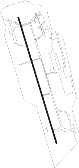
Cameri (no) - Cameri
Airport details
| Country | Italy |
| State | Piedmont |
| Region | LI |
| Airspace | Milan Ctr |
| Municipality | Cameri |
| Elevation | 583ft (178m) |
| Timezone | GMT +1 |
| Coordinates | 45.53249, 8.67467 |
| Magnetic var | |
| Type | land |
| Available since | X-Plane v11.51r1 |
| ICAO code | LIMN |
| IATA code | n/a |
| FAA code | n/a |
Communication
| Cameri Ground Control | 121.700 |
| Cameri Tower | 118.125 |
| Cameri Tower | 122.100 |
Approach frequencies
| ILS-cat-I | RW35 | 108.15 | 18.00mi |
| 3° GS | RW35 | 108.15 | 18.00mi |
Nearby Points of Interest:
Dogana austriaca
-Ponte antico sul Naviglio Grande
-Turbigo
-Nosate
-Baraggia di Bellinzago
-Castano Primo
-Palazzo Bellini
-Lonate Pozzolo
-museo di Storia Naturale
-Vizzola Ticino
-Cuggiono
-Ansa di Castelnovate
-Bernate Ticino
-Samarate
-Inveruno
-Mesero
-Boffalora sopra Ticino
-Cascina dei Poveri
-Villa Magnaghi
-Villa Pozzi
-Busto Arsizio
-Busto Garolfo
-Villa Cortese
-Somma Lombardo
-Villa Bossi
Nearby beacons
| code | identifier | dist | bearing | frequency |
|---|---|---|---|---|
| CAM | CAMERI TACAN | 2.3 | 336° | 115 |
| MAL | MALPENSA (MILAN) NDB | 3.5 | 81° | 364 |
| MMP | MALPENSA (MILAN) NDB | 6.9 | 30° | 425 |
| NOV | NOVARA (MILAN) NDB | 8.2 | 132° | 292 |
| SRN | SARONNO VOR/DME | 16 | 72° | 113.70 |
| SRN | SARONNO NDB | 16.1 | 72° | 330 |
| LIN | LINATE (MILAN) VOR/DME | 25.6 | 97° | 112.25 |
| LNE | LINATE (MILAN) NDB | 28.2 | 107° | 386 |
| TZO | TREZZO VOR/DME | 35 | 88° | 117.25 |
| TZO | TREZZO NDB | 35.1 | 88° | 345 |
| VOG | VOGHERA NDB | 36.3 | 152° | 333 |
| COD | CODOGNO NDB | 40.9 | 109° | 400 |
| SVC | COMAGNE (AOSTA) NDB | 42.2 | 283° | 418 |
| TOP | TORINO NDB | 50.1 | 233° | 392 |
Departure and arrival routes
| Transition altitude | 6000ft |
| SID end points | distance | outbound heading | |
|---|---|---|---|
| RW17 | |||
| 2 | 26mi | 194° | |
| 1A | 48mi | 252° | |
| RW35 | |||
| 1A | 48mi | 252° | |
Disclaimer
The information on this website is not for real aviation. Use this data with the X-Plane flight simulator only! Data taken with kind consent from X-Plane 12 source code and data files. Content is subject to change without notice.
