Lecce - Lecce Lepore
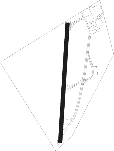
Airport details
| Country | Italy |
| State | Apulia |
| Region | LI |
| Airspace | Brindisi Ctr |
| Municipality | Lecce |
| Elevation | 59ft (18m) |
| Timezone | GMT +1 |
| Coordinates | 40.35750, 18.29389 |
| Magnetic var | |
| Type | land |
| Available since | X-Plane v10.40 |
| ICAO code | LINL |
| IATA code | n/a |
| FAA code | n/a |
Communication
| LECCE Lepore Lecce Radio | 119.650 |
Nearby Points of Interest:
Palazzo Carafa
-ex Conservatorio di Sant'Anna
-chiesa di Santa Domenica
-Museo diocesano Giovanni Tarantini
Nearby beacons
| code | identifier | dist | bearing | frequency |
|---|---|---|---|---|
| LCC | LECCE VORTAC | 9.9 | 236° | 112.80 |
| BRD | BRINDISI VORTAC | 20.2 | 311° | 113.20 |
| BCS | CASALE (BRINDISI) VOR/DME | 23.8 | 311° | 113.55 |
| GRT | GROTTAGLIE NDB | 40.2 | 276° | 331 |
| GRT | GROTTAGLIE TACAN | 41.1 | 278° | 116.80 |
| TAG | TARANTO VOR/DME | 41.5 | 280° | 110.20 |
Disclaimer
The information on this website is not for real aviation. Use this data with the X-Plane flight simulator only! Data taken with kind consent from X-Plane 12 source code and data files. Content is subject to change without notice.