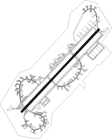
Aviano (pn) - Aviano Ab
Airport details
| Country | Italy |
| State | Friuli-Venezia Giulia |
| Region | LI |
| Airspace | Milan Ctr |
| Municipality | Aviano |
| Elevation | 413ft (126m) |
| Timezone | GMT +1 |
| Coordinates | 46.03007, 12.59884 |
| Magnetic var | |
| Type | land |
| Available since | X-Plane v10.32 |
| ICAO code | LIPA |
| IATA code | AVB |
| FAA code | n/a |
Communication
| Aviano AB AVIANO ATIS | 129.300 |
| Aviano AB AVIANO Tower | 122.100 |
| Aviano AB AVIANO ApproachR | 120.125 |
| Aviano AB AVIANO Departure | 120.125 |
Approach frequencies
| ILS-cat-I | RW05 | 109.5 | 18.00mi |
| 2.5° GS | RW05 | 109.5 | 18.00mi |
Nearby Points of Interest:
Magredi del Cellina
-Bosco di Cavalier
-Cecchini palace
-Le Colline del Prosecco di Conegliano e Valdobbiadene
-Fontane di Nogarè
-Biblioteca Guarneriana
-San Floriano
-Castello di Roncade
Nearby beacons
| code | identifier | dist | bearing | frequency |
|---|---|---|---|---|
| AVI | AVIANO TACAN | 0.5 | 260° | 116.40 |
| AVI | AVIANO NDB | 9.5 | 238° | 390 |
| RIV | RIVOLTO NDB | 15.4 | 105° | 371 |
| RIV | RIVOLTO TACAN | 20.5 | 94° | 110 |
| ISA | ISTRANA TACAN | 28.7 | 235° | 111.70 |
| TEV | DME-ILS | 28.8 | 227° | 108.55 |
| TES | TESSERA VOR/DME | 32.1 | 204° | 115.30 |
| TRE | TREVISO NDB | 32.2 | 231° | 301 |
| RON | RONCHI DEI LEGIONARI NDB | 34 | 105° | 396 |
| RCH | RONCHI DEI LEGIONARI VOR/DME | 38.7 | 103° | 114.20 |
| VIC | VICENZA VOR/DME | 45.2 | 247° | 113.40 |
| VIC | VICENZA NDB | 45.3 | 247° | 417 |
| IPD | DME-ILS | 49.6 | 230° | 111.30 |
| CHI | CHIOGGIA NDB | 59 | 198° | 408 |
| CHI | CHIOGGIA VOR/DME | 59.1 | 198° | 114.10 |
Departure and arrival routes
| Transition altitude | 7000ft |
| SID end points | distance | outbound heading | |
|---|---|---|---|
| RW05 | |||
| RISO2A | 38mi | 78° | |
| VIC7B, VIC7N | 45mi | 247° | |
| RW23 | |||
| RISO2B | 38mi | 78° | |
| VIC7B, VIC7U | 45mi | 247° | |
Instrument approach procedures
| runway | airway (heading) | route (dist, bearing) |
|---|---|---|
| RW05 | KUPEV (58°) | KUPEV 4500ft |
| RNAV | KUPEV 4500ft VADEL (9mi, 58°) 2200ft LIPA (6mi, 59°) 375ft (2844mi, 195°) 813ft KUPEV (2830mi, 15°) 4500ft KUPEV (turn) 7000ft |
Disclaimer
The information on this website is not for real aviation. Use this data with the X-Plane flight simulator only! Data taken with kind consent from X-Plane 12 source code and data files. Content is subject to change without notice.