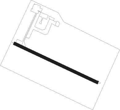
Arezzo
Airport details
| Country | Italy |
| State | Tuscany |
| Region | LI |
| Airspace | Rome Ctr |
| Municipality | Arezzo |
| Elevation | 812ft (247m) |
| Timezone | GMT +1 |
| Coordinates | 43.45814, 11.84612 |
| Magnetic var | |
| Type | land |
| Available since | X-Plane v10.32 |
| ICAO code | LIQB |
| IATA code | n/a |
| FAA code | n/a |
Communication
| AREZZO Arezzo Radio | 126.900 |
Nearby Points of Interest:
Christus Patiens
-Palazzo Pretorio of Anghiari
-Sodo archaeologic area and Camucia's tomb
-Corpus Domini
-Santissima Annunziata
-Chiesa del Chiodo
-Fonte del Castagno
-Sant'Ippolito
-Oratorio della Compagnia di Santa Croce
-Palazzo Comunale
-Santa Regina
-San Giovanni Battista a Lucignano d'Arbia
-réserve naturelle Sasso Fratino
-Sant'Albano
-Oratorio dell'Arciconfraternita della Misericordia
-Palazzo Bandini-Piccolomini
-San Giacomo
-Palazzo Palmieri, Siena
-San Sebastiano
-Loggia della Mercanzia
-Museo diocesano d'Arte Sacra
-Historic Centre of the City of Pienza
-Vescovile Palace
-Via Camollia
-Palazzo Luti
Runway info
| Runway 12 / 30 | ||
| length | 719m (2359ft) | |
| bearing | 112° / 292° | |
| width | 23m (75ft) | |
| surface | asphalt | |
| displ threshold | 30m (98ft) / 30m (98ft) | |
Nearby beacons
| code | identifier | dist | bearing | frequency |
|---|---|---|---|---|
| PRT | PERETOLA (FLORENCE) VOR/DME | 35.1 | 299° | 112.50 |
| PRU | PERUGIA NDB | 36 | 118° | 398 |
| PRU | PERUGIA VOR/DME | 36.1 | 118° | 109.40 |
| FOL | FORLI VOR/DME | 45.2 | 17° | 115.75 |
| RIM | RIMINI NDB | 47 | 47° | 335 |
| RIM | RIMINI VORTAC | 47.2 | 54° | 116.20 |
| RMN | (RIMINI) DME | 47.5 | 54° | 108.80 |
| CEV | CERVIA TACAN | 50.1 | 34° | 113.60 |
| GRO | GROSSETO VORTAC | 53.7 | 228° | 109.85 |
Disclaimer
The information on this website is not for real aviation. Use this data with the X-Plane flight simulator only! Data taken with kind consent from X-Plane 12 source code and data files. Content is subject to change without notice.
