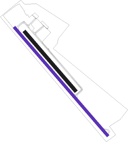
Bled - Lesce - Bled
Airport details
| Country | Slovenia |
| State | Bled |
| Region | LJ |
| Airspace | Ljubljana Ctr |
| Municipality | Radovljica |
| Elevation | 1651ft (503m) |
| Timezone | GMT +1 |
| Coordinates | 46.35632, 14.17446 |
| Magnetic var | |
| Type | land |
| Available since | X-Plane v10.40 |
| ICAO code | LJBL |
| IATA code | n/a |
| FAA code | n/a |
Communication
| Lesce - Bled Lesce Bled Aerodrome | 122.505 |
Nearby Points of Interest:
Radovljica Mansion
-Radovljica train station
-Jalen House
-St. Leonard's Church
-Museum of Hostages
-Kacenštajn Castle
-St. Peter's Church
-Finžgar House
-St. Martin's Parish Church (Bled)
-Žirovnica
-Železniško postajališče Otoče
-Doslovče
-Zabreška planina
-Vigenjc Vice
-Koroška Bela
-Sts. Ingenuin and Albuin Church
-Tržič
-St. Joseph's Church
-Grad Neuhaus
-Kurnik House
-Zgornje Duplje
-Our Lady of the Annunciation Parish Church
-Loibl Pass
-Sava, Jesenice
-Kasarna
Nearby beacons
| code | identifier | dist | bearing | frequency |
|---|---|---|---|---|
| LBL | LJUBLJANA VOR/DME | 12.6 | 115° | 117.20 |
| KI | KLAGENFURT NDB | 18.7 | 37° | 313 |
| MG | LJUBLJANA NDB | 19.2 | 116° | 296 |
| KFT | KLAGENFURT VOR/DME | 21.6 | 58° | 113.10 |
| KFT | KLAGENFURT NDB | 21.9 | 53° | 374 |
| VIW | DME | 23 | 323° | 112.90 |
| DOL | DOLSKO VOR/DME | 29.9 | 114° | 112.70 |
| KOR | DME | 41.8 | 62° | 109.40 |
| RCH | RONCHI DEI LEGIONARI VOR/DME | 42.8 | 233° | 114.20 |
| RON | RONCHI DEI LEGIONARI NDB | 46.4 | 237° | 396 |
| ILB | BISTRICA VOR/DME | 47.4 | 180° | 114.80 |
| ZW | ZELTWEG NDB | 55.9 | 35° | 418 |
| BRZ | BREZA NDB | 56.4 | 170° | 400 |
| PZ | PORTOROZ NDB | 57.7 | 212° | 388 |
| POR | PORTOROZ VOR/DME | 57.9 | 213° | 115.15 |
Disclaimer
The information on this website is not for real aviation. Use this data with the X-Plane flight simulator only! Data taken with kind consent from X-Plane 12 source code and data files. Content is subject to change without notice.

