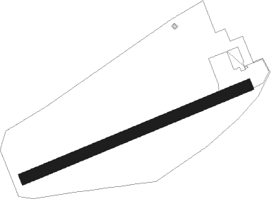
Bovec
Airport details
| Country | Slovenia |
| State | Bovec |
| Region | LJ |
| Airspace | Ljubljana Ctr |
| Elevation | 1414ft (431m) |
| Timezone | GMT +1 |
| Coordinates | 46.33208, 13.55100 |
| Magnetic var | |
| Type | land |
| Available since | X-Plane v11.20 |
| ICAO code | LJBO |
| IATA code | n/a |
| FAA code | n/a |
Communication
| Bovec Bovec Aerodrome | 123.505 |
Nearby Points of Interest:
Bovec
-Žičnica Golobar
-Tolmin Castle
-St. Thomas's Church, Rateče
-Aljaž Tower
-Military Cemetery Ukanc
-Planina Krstenica
-Železniška postaja Kranjska Gora
-Holy Spirit Church
-Cerkev svetega Kancijana, Britof
-Evangelische Pfarrkirche Arnoldstein
-Schrotturm Arnoldstein
-Planina Konjščica
-Pfarrkirche hl. Martin, Feistritz an der Gail
-Bohinj Railway
-Planina Uskovnica
-Longobards in Italy, Places of Power
-Assumption of Mary Parish Church
-Unsere liebe Frau im Graben (Maria im Graben)
-St. Martin's Parish Church in Srednja Vas v Bohinju
-Bodenhof castle
-Planina Zajamniki
-Saint Paul Church
-Filialkirche hl. Kunigunde, Nampolach, Hermagor
-Planina Javornik
Nearby beacons
| code | identifier | dist | bearing | frequency |
|---|---|---|---|---|
| VIW | DME | 26.5 | 45° | 112.90 |
| RIV | RIVOLTO TACAN | 27.8 | 234° | 110 |
| RCH | RONCHI DEI LEGIONARI VOR/DME | 30.3 | 188° | 114.20 |
| RON | RONCHI DEI LEGIONARI NDB | 31.2 | 201° | 396 |
| RIV | RIVOLTO NDB | 34.7 | 237° | 371 |
| LBL | LJUBLJANA VOR/DME | 36.8 | 96° | 117.20 |
| KI | KLAGENFURT NDB | 38.8 | 70° | 313 |
| AVI | AVIANO TACAN | 44 | 252° | 116.40 |
| KFT | KLAGENFURT NDB | 44.3 | 73° | 374 |
| PZ | PORTOROZ NDB | 51.3 | 176° | 388 |
| POR | PORTOROZ VOR/DME | 51.5 | 176° | 115.15 |
| ILB | BISTRICA VOR/DME | 52.8 | 141° | 114.80 |
| BRZ | BREZA NDB | 63.8 | 139° | 400 |
| KO | KOZALA (RIJEKA) NDB | 70.6 | 138° | 438 |
Disclaimer
The information on this website is not for real aviation. Use this data with the X-Plane flight simulator only! Data taken with kind consent from X-Plane 12 source code and data files. Content is subject to change without notice.