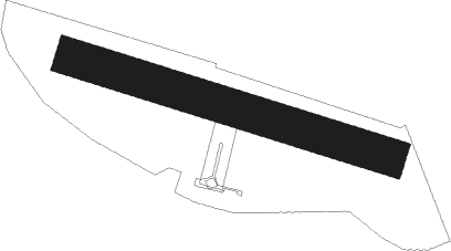
Celje
Airport details
| Country | Slovenia |
| State | Celje |
| Region | LJ |
| Airspace | Ljubljana Ctr |
| Elevation | 798ft (243m) |
| Timezone | GMT +1 |
| Coordinates | 46.24558, 15.22307 |
| Magnetic var | |
| Type | land |
| Available since | X-Plane v10.40 |
| ICAO code | LJCL |
| IATA code | n/a |
| FAA code | n/a |
Communication
| Celje Celje Aerodrome | 128.805 |
Nearby Points of Interest:
Basilica of the Visitation, Petrovče
-Celje National Hall
-Novo Celje Mansion
-Stara grofija
-Celje Town Hall
-Celje
-Rakusch mill
-Hohenwarterjeva hiša
-St. Maximilian's Church
-Celje Post Office
-Vojašnica Franca Rozmana - Staneta
-Celje Hall
-Water tower
-Žalec
-Vojnik
-St. Paul's Parish Church
-Dobrna Castle
-Novi Klošter Monastery
-Švarcenštajn Castle
-St. Rosalia's Church
-Komenda castle
-Polzela
-Our Lady of the Rosary Parish Church
-Ipavec House
-Šentjur
Nearby beacons
| code | identifier | dist | bearing | frequency |
|---|---|---|---|---|
| DOL | DOLSKO VOR/DME | 20.8 | 250° | 112.70 |
| RK | CERKLJE-RAKA NDB | 22 | 154° | 359 |
| CL | CERKLJE-HRASTJE NDB | 23.7 | 142° | 463 |
| MI | OREHOVA VAS (MARIBOR) NDB | 23.7 | 66° | 355 |
| COK | CERKLJE VOR/DME | 24.1 | 139° | 108.25 |
| MR | MARIBOR NDB | 24.8 | 78° | 334 |
| MG | LJUBLJANA NDB | 28 | 264° | 296 |
| LBL | LJUBLJANA VOR/DME | 33 | 269° | 117.20 |
| JAP | DME | 34.1 | 142° | 117.65 |
| KOR | DME | 34.1 | 335° | 109.40 |
| KFT | KLAGENFURT VOR/DME | 34.5 | 298° | 113.10 |
| KFT | KLAGENFURT NDB | 36.5 | 299° | 374 |
| GRZ | GRAZ NDB | 41.6 | 19° | 290 |
| KI | KLAGENFURT NDB | 41.8 | 295° | 313 |
| GRZ | GRAZ VOR/DME | 43.6 | 18° | 116.20 |
| GBG | GLEICHENBERG NDB | 45.2 | 42° | 426 |
| LUK | DME | 46.2 | 126° | 109.85 |
| PIS | PISAROVINA NDB | 46.3 | 136° | 424 |
| VG | VELIKA GORICA (ZAGREB) NDB | 46.3 | 122° | 325 |
| STK | KOGEL DME | 46.4 | 50° | 114.55 |
| SK | S.KRALJEVEC (ZAGREB) NDB | 47.3 | 115° | 350 |
| TNJ | TOUNJ NDB | 60.1 | 173° | 316 |
| ZW | ZELTWEG NDB | 60.3 | 334° | 418 |
| BRZ | BREZA NDB | 61.5 | 227° | 400 |
| KO | KOZALA (RIJEKA) NDB | 63.6 | 220° | 438 |
Disclaimer
The information on this website is not for real aviation. Use this data with the X-Plane flight simulator only! Data taken with kind consent from X-Plane 12 source code and data files. Content is subject to change without notice.
