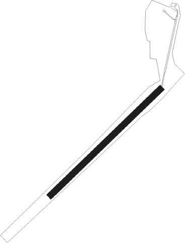
Novo Mesto
Airport details
| Country | Slovenia |
| State | Nova mesto |
| Region | LJ |
| Airspace | Ljubljana Ctr |
| Municipality | Straža |
| Elevation | 549ft (167m) |
| Timezone | GMT +1 |
| Coordinates | 45.79996, 15.10181 |
| Magnetic var | |
| Type | land |
| Available since | X-Plane v10.40 |
| ICAO code | LJNM |
| IATA code | n/a |
| FAA code | n/a |
Communication
| Novo Mesto Novo Mesto Aerodrome | 123.505 |
Nearby beacons
| code | identifier | dist | bearing | frequency |
|---|---|---|---|---|
| RK | CERKLJE-RAKA NDB | 13.4 | 71° | 359 |
| CL | CERKLJE-HRASTJE NDB | 17.5 | 76° | 463 |
| COK | CERKLJE VOR/DME | 18.5 | 76° | 108.25 |
| JAP | DME | 21.4 | 96° | 117.65 |
| DOL | DOLSKO VOR/DME | 21.7 | 311° | 112.70 |
| MG | LJUBLJANA NDB | 31.9 | 304° | 296 |
| PIS | PISAROVINA NDB | 33.2 | 105° | 424 |
| TNJ | TOUNJ NDB | 34.7 | 156° | 316 |
| LUK | DME | 37.9 | 97° | 109.85 |
| LBL | LJUBLJANA VOR/DME | 38.4 | 303° | 117.20 |
| BRZ | BREZA NDB | 38.9 | 244° | 400 |
| KO | KOZALA (RIJEKA) NDB | 39.2 | 235° | 438 |
| VG | VELIKA GORICA (ZAGREB) NDB | 39.6 | 95° | 325 |
| RJK | RIJEKA VOR/DME | 41.2 | 223° | 117.80 |
| ILB | BISTRICA VOR/DME | 41.5 | 256° | 114.80 |
| RI | RIJEKA (KRK ISLAND) NDB | 44 | 214° | 289 |
| MR | MARIBOR NDB | 44.8 | 50° | 334 |
| MI | OREHOVA VAS (MARIBOR) NDB | 47 | 42° | 355 |
| KFT | KLAGENFURT VOR/DME | 52.8 | 326° | 113.10 |
| KFT | KLAGENFURT NDB | 54.8 | 325° | 374 |
| KI | KLAGENFURT NDB | 58.3 | 319° | 313 |
| KOR | DME | 59.5 | 352° | 109.40 |
| CRE | CRES NDB | 61.1 | 217° | 433 |
Disclaimer
The information on this website is not for real aviation. Use this data with the X-Plane flight simulator only! Data taken with kind consent from X-Plane 12 source code and data files. Content is subject to change without notice.
