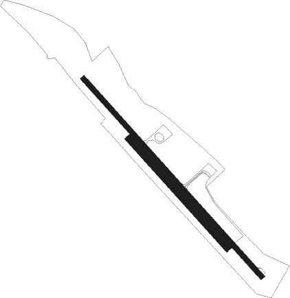
Slovenj Gradec
Airport details
| Country | Slovenia |
| State | Slovenj Gradec |
| Region | LJ |
| Airspace | Ljubljana Ctr |
| Elevation | 1645ft (501m) |
| Timezone | GMT +1 |
| Coordinates | 46.47157, 15.11741 |
| Magnetic var | |
| Type | land |
| Available since | X-Plane v10.40 |
| ICAO code | LJSG |
| IATA code | n/a |
| FAA code | n/a |
Communication
| Slovenj Gradec Slovenj Gradec Aerodrome | 123.505 |
Nearby Points of Interest:
Slovenj Gradec
-Stari trg
-Sveti Primož na Pohorju
-Grad Turn pri Velenju
-Rimski vrelec
-Šentjanž pri Dravogradu
-Šoštanj
-Villa Mayer
-Velenje
-Šoštanj castle
-Prežihova bajta
-Ekenštajn Castle
-Ravne Castle
-Puchenstein Castle
-Grad Vuzenica
-Dravograd
-Švarcenštajn Castle
-Dravograd Castle
-Dobrna Castle
-Vitanje Castle
-Marenberg Castle
-St. Ignatius of Loyola Church
-Novi Klošter Monastery
-Kath. Filialkirche hl. Laurentius
-Frančiškanski samostan Nazarje

Nearby beacons
| code | identifier | dist | bearing | frequency |
|---|---|---|---|---|
| KOR | DME | 19.9 | 335° | 109.40 |
| KFT | KLAGENFURT VOR/DME | 24.1 | 283° | 113.10 |
| MI | OREHOVA VAS (MARIBOR) NDB | 24.2 | 91° | 355 |
| KFT | KLAGENFURT NDB | 25.7 | 285° | 374 |
| DOL | DOLSKO VOR/DME | 27.1 | 221° | 112.70 |
| MR | MARIBOR NDB | 28.6 | 98° | 334 |
| MG | LJUBLJANA NDB | 29.3 | 242° | 296 |
| GRZ | GRAZ NDB | 30.4 | 37° | 290 |
| LBL | LJUBLJANA VOR/DME | 31.7 | 251° | 117.20 |
| KI | KLAGENFURT NDB | 31.8 | 282° | 313 |
| GRZ | GRAZ VOR/DME | 32.1 | 34° | 116.20 |
| RK | CERKLJE-RAKA NDB | 36.2 | 154° | 359 |
| GBG | GLEICHENBERG NDB | 37.6 | 59° | 426 |
| CL | CERKLJE-HRASTJE NDB | 37.8 | 146° | 463 |
| COK | CERKLJE VOR/DME | 38.1 | 145° | 108.25 |
| STK | KOGEL DME | 40.3 | 65° | 114.55 |
| ZW | ZELTWEG NDB | 46 | 334° | 418 |
| JAP | DME | 48.2 | 146° | 117.65 |
| RAW | DME | 55.6 | 39° | 112.15 |
| VG | VELIKA GORICA (ZAGREB) NDB | 59 | 129° | 325 |
| LUK | DME | 59.4 | 132° | 109.85 |
| PIS | PISAROVINA NDB | 60.2 | 140° | 424 |
| ILB | BISTRICA VOR/DME | 67.2 | 226° | 114.80 |
Disclaimer
The information on this website is not for real aviation. Use this data with the X-Plane flight simulator only! Data taken with kind consent from X-Plane 12 source code and data files. Content is subject to change without notice.