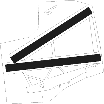
Benešov - Benesov
Airport details
| Country | Czechia |
| State | Central Bohemia |
| Region | LK |
| Airspace | Prague Ctr |
| Municipality | Bystřice |
| Elevation | 1319ft (402m) |
| Timezone | GMT +1 |
| Coordinates | 49.74083, 14.64472 |
| Magnetic var | |
| Type | land |
| Available since | X-Plane v10.40 |
| ICAO code | LKBE |
| IATA code | n/a |
| FAA code | n/a |
Communication
| Benesov INFO | 118.000 |
Nearby Points of Interest:
Bystřice u Benešova
-Church of Saints Simon and Jude in Bystřice
-dům hospodářské záložny Benešov
-Old Jewish cemetery in Benešov
-Dolní zvonice v Benešově
-Horní zvonice
-New Jewish cemetery in Benešov
-Church of Saint Wenceslaus
-Jewish cemetery in Neveklov
-Popovice
-Church of Saint James the Greater
-Church of Saint Martin
-Church of Saint Peter
-Mrač
-Chapel of the Holy Sepulchre (Votice)
-Štětkovice
-Martinice Castle
-Jewish cemetery in Neustupov
-Třebešice Castle
-Jablonná Chateau
-Church of Saint Clemens (Lštění)
-Former synagogue in Pyšely
-Jewish cemetery in Kosova Hora
-Psané skály
-Hrad u Čtyřkol
Nearby beacons
| code | identifier | dist | bearing | frequency |
|---|---|---|---|---|
| VOZ | VOZICE VOR/DME | 15.3 | 132° | 116.95 |
| VLM | VLASIM VOR/DME | 16.5 | 95° | 114.30 |
| K | KBELY NDB | 23.5 | 349° | 438 |
| PSK | DME | 23.8 | 274° | 117.60 |
| KD | KBELY NDB | 24.7 | 359° | 300 |
| OKL | PRAGUE VOR/DME | 25.8 | 313° | 112.60 |
| L | LIBOC (PRAGUE) NDB | 26.6 | 317° | 372 |
| F | CASLAV NDB | 30.4 | 73° | 715 |
| V | MASLOVICE (VODOCHODY) NDB | 30.6 | 331° | 416 |
| C | CASLAV NDB | 31.3 | 76° | 715 |
| CF | CASLAV NDB | 32 | 78° | 345 |
| NER | NERATOVICE VOR/DME | 37.5 | 358° | 112.25 |
| OKF | DESNA VOR/DME | 58.2 | 131° | 113.15 |
Disclaimer
The information on this website is not for real aviation. Use this data with the X-Plane flight simulator only! Data taken with kind consent from X-Plane 12 source code and data files. Content is subject to change without notice.

