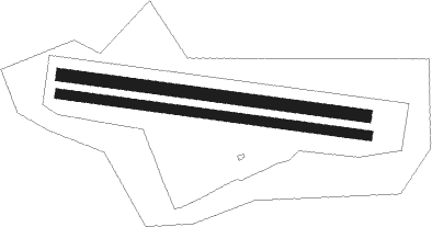
Bubovice
Airport details
| Country | Czechia |
| State | Central Bohemia |
| Region | LK |
| Airspace | Prague Ctr |
| Municipality | Bubovice |
| Elevation | 1395ft (425m) |
| Timezone | GMT +1 |
| Coordinates | 49.97445, 14.17806 |
| Magnetic var | |
| Type | land |
| Available since | X-Plane v10.40 |
| ICAO code | LKBU |
| IATA code | n/a |
| FAA code | n/a |
Communication
| Bubovice INFO | 134.300 |
Nearby Points of Interest:
Church of Saint Wenceslaus
-Vysoký Újezd Castle
-Monastery in Svatý Jan pod Skalou
-Chapel of St. Catherine
-Chapel of the Holy Cross
-V Kozlu
-Hradiště Na Brdláku
-Ponds in Koda
-Na Zámkách
-Vodárna Liteň
-Kaplička v Kornu
-Panský dům
-City walls of Beroun
-Town hall in Beroun
-Duslova vila v Berouně
-Rectory in Řevnice
-Church of Saint Maurice
-Kaple svatého Jana Nepomuckého
-Sochorova hrobka
-Zvonařova 10
-Chapel of Saint John the Nepomuk
-Chapel with bell tower in Sobín
-Humensko
-Church of Saint Bartholomew in Všeradice

Nearby beacons
| code | identifier | dist | bearing | frequency |
|---|---|---|---|---|
| OKL | PRAGUE VOR/DME | 8 | 36° | 112.60 |
| L | LIBOC (PRAGUE) NDB | 9.6 | 37° | 372 |
| PSK | DME | 12.6 | 217° | 117.60 |
| V | MASLOVICE (VODOCHODY) NDB | 16.5 | 39° | 416 |
| K | KBELY NDB | 17.6 | 68° | 438 |
| KD | KBELY NDB | 20.6 | 69° | 300 |
| NER | NERATOVICE VOR/DME | 29 | 49° | 112.25 |
| VOZ | VOZICE VOR/DME | 37.8 | 122° | 116.95 |
| VLM | VLASIM VOR/DME | 38 | 107° | 114.30 |
| HDO | HERMSDORF VOR/DME | 57.7 | 11° | 108.65 |
| OKX | FRYDLANT VOR/DME | 64.6 | 43° | 114.85 |
Disclaimer
The information on this website is not for real aviation. Use this data with the X-Plane flight simulator only! Data taken with kind consent from X-Plane 12 source code and data files. Content is subject to change without notice.