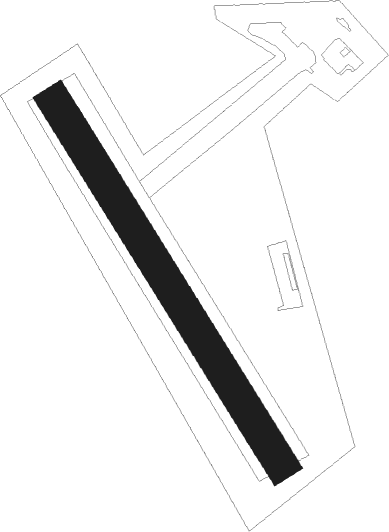
Medlánky - Medlanky
Airport details
| Country | Czechia |
| State | Southeast |
| Region | LK |
| Airspace | Prague Ctr |
| Municipality | Brno |
| Elevation | 923ft (281m) |
| Timezone | GMT +1 |
| Coordinates | 49.23695, 16.55528 |
| Magnetic var | |
| Type | land |
| Available since | X-Plane v10.40 |
| ICAO code | LKCM |
| IATA code | n/a |
| FAA code | n/a |
Communication
| Medlanky INFO | 122.400 |
Nearby Points of Interest:
Jaruškův dům
-Carthusian monastery in Brno
-Kolonie Nový dům
-Villa of Bohuslav Fuchs
-Villa of Václav Dvořák
-Villa Patočka
-Villa Kroha
-Kolonie Pod vodojemem
-Villa Psota
-Villa Kudela
-Villa Stein
-Villa Reissig
-Gutmannova vila
-Villa of Jindřich Kumpošt
-Villa Pavlíček
-Hechtova vila
-Porodnice na Obilním trhu
-Tram shelter at Obilní trh
-Petrinum
-Alešova 24
-Pavilon Z
-Rozhledna na výstavišti (Brno)
-New State House
-Pavilion H
-Berglův palác
Nearby beacons
| code | identifier | dist | bearing | frequency |
|---|---|---|---|---|
| BNO | BRNO VOR/DME | 7.5 | 122° | 114.45 |
| B | BOREK (BRNO) NDB | 8.5 | 117° | 429 |
| LA | NAMEST NDB | 15.9 | 255° | 514 |
| L | NAMEST NDB | 16.5 | 258° | 362 |
| X | NAMEST NDB | 18.2 | 263° | 362 |
| XU | NAMEST NDB | 19.3 | 265° | 563 |
| KNE | KUNOVICE NDB | 37 | 102° | 434 |
| KUN | KUNOVICE NDB | 37.8 | 97° | 416 |
| STO | STOCKERAU VOR/DME | 53.6 | 213° | 113 |
| PK | PARDUBICE NDB | 54.7 | 316° | 432 |
| WGM | WAGRAM VOR/DME | 54.8 | 184° | 112.20 |
| P | PARDUBICE NDB | 55.6 | 315° | 888 |
| TUN | TULLN VOR/DME | 60.1 | 212° | 111.40 |
| TUN | TULLN NDB | 60.2 | 212° | 358 |
Disclaimer
The information on this website is not for real aviation. Use this data with the X-Plane flight simulator only! Data taken with kind consent from X-Plane 12 source code and data files. Content is subject to change without notice.
