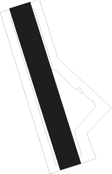
Chotěboř - Chotebor
Airport details
| Country | Czechia |
| State | Southeast |
| Region | LK |
| Airspace | Prague Ctr |
| Municipality | Chotěboř |
| Elevation | 1943ft (592m) |
| Timezone | GMT +1 |
| Coordinates | 49.68583, 15.67611 |
| Magnetic var | |
| Type | land |
| Available since | X-Plane v10.40 |
| ICAO code | LKCT |
| IATA code | n/a |
| FAA code | n/a |
Communication
| Chotebor INFO | 122.200 |
Nearby Points of Interest:
náměstí T. G. Masaryka 194
-Ronovec
-Liboháj forester's lodge
-Stations of the Cross in Pohled
-Church of Saint Michael
-Památník Karla Havlíčka Borovského
-Church of Saint Catherine of Alexandria
-Křížová cesta
-Štáflova chalupa
-Šupichova vila
-Jeřišno - Heřmaň
-Church of Saint Nicholas (Dlouhá Ves)
-Old hospital
-Přibyslav Castle
-Ronov bridge
-Zámek v Ronově nad Sázavou
-Ronov Castle
-Church of the Finding of the True Cross
-Hamerská hospoda
-Kostel svatého Mikuláše
-Úhrov Chateau
-Chapel of Saint Anthony of Padua (Úhrov)
-Church of Saint James the Greater
-Church of Saint Vitus (Bojanov)
-Open-air Museum Vysočina
Nearby beacons
| code | identifier | dist | bearing | frequency |
|---|---|---|---|---|
| CF | CASLAV NDB | 16.1 | 312° | 345 |
| C | CASLAV NDB | 17.8 | 311° | 715 |
| P | PARDUBICE NDB | 19.9 | 16° | 888 |
| PK | PARDUBICE NDB | 20.2 | 23° | 432 |
| F | CASLAV NDB | 20.5 | 310° | 715 |
| VLM | VLASIM VOR/DME | 23.6 | 272° | 114.30 |
| VOZ | VOZICE VOR/DME | 32.5 | 259° | 116.95 |
| XU | NAMEST NDB | 33 | 141° | 563 |
| X | NAMEST NDB | 34.4 | 140° | 362 |
| L | NAMEST NDB | 37.1 | 138° | 362 |
| LA | NAMEST NDB | 38.4 | 137° | 514 |
| OKF | DESNA VOR/DME | 43.3 | 190° | 113.15 |
Disclaimer
The information on this website is not for real aviation. Use this data with the X-Plane flight simulator only! Data taken with kind consent from X-Plane 12 source code and data files. Content is subject to change without notice.
