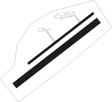
Hosin
Airport details
| Country | Czechia |
| State | Southwest |
| Region | LK |
| Airspace | Prague Ctr |
| Municipality | Hosín |
| Elevation | 1620ft (494m) |
| Timezone | GMT +1 |
| Coordinates | 49.04000, 14.49500 |
| Magnetic var | |
| Type | land |
| Available since | X-Plane v10.40 |
| ICAO code | LKHS |
| IATA code | n/a |
| FAA code | n/a |
Communication
| Hosin Tower | 130.200 |
Nearby Points of Interest:
Eliášova dědičná štola
-Church of Saint John of Nepomuk (Hluboká nad Vltavou)
-Crematoria in České Budějovice
-Jewish cemetery in Hluboká nad Vltavou
-Hradec u Dobřejovic
-Perkmistrovský dům
-Church of the Holy Trinity
-Bezdrev
-Eggertova vila
-Mariánská kasárna (České Budějovice)
-Dům U Zelené ratolesti
-Areál Lannovy loděnice
-Wortnerův dům
-Zátkova vila
-Česká 39
-Lubasův dům
-Kneisslův dům (České Budějovice)
-U slovanské lípy
-Piaristická 2
-Puklicův dům
-Dominican Monastery
-Kapucínský klášter
-Sokolovna
-Nová radnice (České Budějovice)
-Church of Saint Anne
Nearby beacons
| code | identifier | dist | bearing | frequency |
|---|---|---|---|---|
| VOZ | VOZICE VOR/DME | 33 | 38° | 116.95 |
| FRE | DME | 39.2 | 211° | 113.50 |
| VLM | VLASIM VOR/DME | 45.7 | 41° | 114.30 |
| PSK | DME | 48.2 | 328° | 117.60 |
| LNZ | LINZ NDB | 48.7 | 192° | 327 |
| LNZ | LINZ VOR/DME | 51 | 206° | 116.60 |
| CF | CASLAV NDB | 63.4 | 47° | 345 |
| C | CASLAV NDB | 63.8 | 46° | 715 |
| F | CASLAV NDB | 64.5 | 43° | 715 |
Disclaimer
The information on this website is not for real aviation. Use this data with the X-Plane flight simulator only! Data taken with kind consent from X-Plane 12 source code and data files. Content is subject to change without notice.

