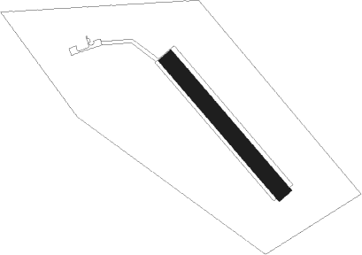
Jaroměř - Jaromer
Airport details
| Country | Czechia |
| State | Northeast |
| Region | LK |
| Airspace | Prague Ctr |
| Municipality | Nový Ples |
| Elevation | 889ft (271m) |
| Timezone | GMT +1 |
| Coordinates | 50.33139, 15.95389 |
| Magnetic var | |
| Type | land |
| Available since | X-Plane v10.40 |
| ICAO code | LKJA |
| IATA code | n/a |
| FAA code | n/a |
Communication
| Jaromer INFO | 122.600 |
Nearby Points of Interest:
Church of the Ascension of the Lord in Josefov
-Chapel of Saint Hubertus
-Chapel of Virgin Mary in Havlíčkova street, Jaroměř
-Statue of John of Nepomuk
-Starý hrad Jaroměř
-Chapel of Saint Anne
-Library in Jaroměř
-Tyršův most
-Ettrichova vila
-Vodárna
-Sehnoutkův dům
-Kostel svatého Jana Křtitele
-Chapel of Saint Francis of Assisi (Velká Jesenice)
-Sculpture of the Crucifixion (Velká Jesenice)
-Socha svatého Václava
-Hospital in Holohlavy
-Rectory in Holohlavy
-Socha svatého Jana Nepomuckého
-Church of Saint Wenceslaus
-Statue of John of Nepomuk in Černilov
-Statue of Saint Florian
-Former protestant school (Černilov)
-Statue of Saint Giles
-sochy Ctností a Neřestí na zámku Kuks
-Inundační most v Kuksu
Nearby beacons
| code | identifier | dist | bearing | frequency |
|---|---|---|---|---|
| PK | PARDUBICE NDB | 19.9 | 204° | 432 |
| P | PARDUBICE NDB | 20.4 | 210° | 888 |
| F | CASLAV NDB | 32.1 | 238° | 715 |
| C | CASLAV NDB | 32.3 | 234° | 715 |
| CF | CASLAV NDB | 32.5 | 231° | 345 |
| OKX | FRYDLANT VOR/DME | 49.1 | 302° | 114.85 |
| VLM | VLASIM VOR/DME | 50.8 | 235° | 114.30 |
| WCL | WROCLAW VOR/DME | 58.6 | 52° | 111.65 |
Disclaimer
The information on this website is not for real aviation. Use this data with the X-Plane flight simulator only! Data taken with kind consent from X-Plane 12 source code and data files. Content is subject to change without notice.
