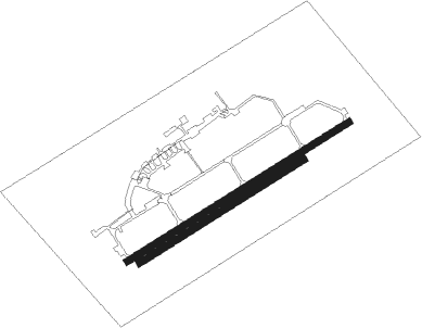
Prague - Kbely
Airport details
| Country | Czechia |
| State | Prague |
| Region | LK |
| Airspace | Prague Ctr |
| Elevation | 938ft (286m) |
| Timezone | GMT +1 |
| Coordinates | 50.12137, 14.54364 |
| Magnetic var | |
| Type | land |
| Available since | X-Plane v10.40 |
| ICAO code | LKKB |
| IATA code | n/a |
| FAA code | n/a |
Communication
| Kbely Tower | 120.875 |
| Kbely Tower | 126.475 |
| Kbely Approach | 124.675 |
| Kbely PRECISION | 123.300 |
Approach frequencies
| ILS-cat-I | RW24 | 108.35 | 18.00mi |
| 3° GS | RW24 | 108.35 | 18.00mi |
Nearby Points of Interest:
Prague-Kbely Airport
-Airport tower in Kbely
-Staroboleslavská Svatá cesta
-Hloubětín č. p. 1
-Jordánská čp. 670
-Křižovnický dvůr
-Hloubětín Castle
-Hajnova vila
-Vinoř Castle
-Lidový dům
-Hradiště Vinoř
-Vinořské náměstí 41
-Vinařský sloup (Prosek)
-Stoliňská 4
-Císařská
-Svatojánský poplužní dvůr
-Chapel near Kundratka
-Hostinec Barborka
-Mazanka
-Ďáblice Castle
-betonový most přes Rokytku
-Statue of Jan Podlipný in Libeň
-Palác Svět
-Zámeček Sluncová
-Atelier of Zdeněk Němeček
Nearby beacons
| code | identifier | dist | bearing | frequency |
|---|---|---|---|---|
| K | KBELY NDB | 1 | 71° | 438 |
| KD | KBELY NDB | 4 | 71° | 300 |
| V | MASLOVICE (VODOCHODY) NDB | 8.8 | 300° | 416 |
| L | LIBOC (PRAGUE) NDB | 9.8 | 270° | 372 |
| OKL | PRAGUE VOR/DME | 10.8 | 265° | 112.60 |
| NER | NERATOVICE VOR/DME | 15 | 18° | 112.25 |
| PSK | DME | 28.1 | 237° | 117.60 |
| VLM | VLASIM VOR/DME | 32.1 | 129° | 114.30 |
| F | CASLAV NDB | 32.8 | 101° | 715 |
| C | CASLAV NDB | 35.2 | 103° | 715 |
| CF | CASLAV NDB | 36.7 | 104° | 345 |
| VOZ | VOZICE VOR/DME | 37.6 | 151° | 116.95 |
| HDO | HERMSDORF VOR/DME | 48.9 | 348° | 108.65 |
| OKX | FRYDLANT VOR/DME | 50.4 | 32° | 114.85 |
| DRN | DRESDEN VOR/DME | 64.6 | 313° | 114.35 |
Departure and arrival routes
| Transition altitude | 5000ft |
| STAR starting points | distance | inbound heading | |
|---|---|---|---|
| RW24 | |||
| APRA1W | 32.7 | 42° | |
| LOMK4W | 51.8 | 81° | |
| GOLO3W | 27.9 | 174° | |
| VLM5W | 32.1 | 309° | |
Holding patterns
| STAR name | hold at | type | turn | heading* | altitude | leg | speed limit |
|---|---|---|---|---|---|---|---|
| APRA1W | APRAQ | VHF | left | 217 (37)° | > 5500ft | 1.0min timed | ICAO rules |
| APRA1W | EKROT | VHF | left | 177 (357)° | > 3000ft | 1.0min timed | ICAO rules |
| GOLO3W | ERASU | VHF | left | 241 (61)° | > 4000ft | 1.0min timed | ICAO rules |
| LOMK4W | ERASU | VHF | left | 241 (61)° | > 4000ft | 1.0min timed | ICAO rules |
| VLM5W | EKROT | VHF | left | 177 (357)° | > 3000ft | 1.0min timed | ICAO rules |
| *) magnetic outbound (inbound) holding course | |||||||
Disclaimer
The information on this website is not for real aviation. Use this data with the X-Plane flight simulator only! Data taken with kind consent from X-Plane 12 source code and data files. Content is subject to change without notice.

